Beatrice night lights from space
Night Light of Beatrice (Nebraska) from space (United States) Src. Average luminocity for 10x10km area is 25.5601% and for 50x50km: 1.7074%.
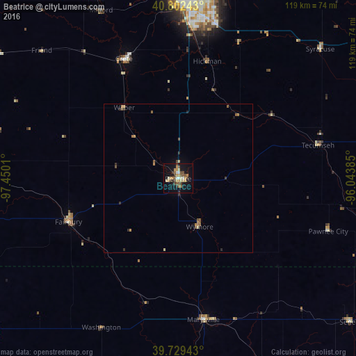
Analysis of Beatrice night lights 2016
Square area 10x10 km:
 0.97%
0.97%90-99
2.92%80-89
5.03%70-79
5.36%60-69
2.44%50-59
5.03%40-49
4.22%30-39
3.08%20-29
3.25%10-19
22.4%0-9
45.29%Square area 50x50 km:
0.04%90-99
0.12%80-89
0.29%70-79
0.32%60-69
0.25%50-59
0.38%40-49
0.33%30-39
0.31%20-29
0.22%10-19
1.01%0-9
96.73%Clear (daylight) street map image can be seen on geolist.org.
Map coordinates:
40° 48' 8.7" North, 97° 27' 0.4" West
40° 16' 5" North, 96° 44' 49.1" West
39° 43' 45.9" North, 96° 2' 37.9" West
Some cities around Beatrice sort by population:
• Lincoln
59.5 km =37 mi,  6°
6°
• York
97.7 km =60.7 mi,  313°
313°
• Nebraska City
87.8 km =54.6 mi,  58°
58°
• Seward
77 km =47.8 mi,  337°
337°
• Crete
43.9 km =27.3 mi, 335°
• Plattsmouth
110.2 km =68.5 mi,  41°
41°
• Concordia
110 km =68.4 mi,  225°
225°
• Gretna
106 km =65.9 mi,  23°
23°
5063646 (p: 12,388)
Sources (retrieved 2019-11-25):
» Earth at Night: Flat Maps 2012, 2016