Hastings night lights from space
Night Light of Hastings (Nebraska) from space (United States) Src. Average luminocity for 10x10km area is 38.2646% and for 50x50km: 2.8744%.
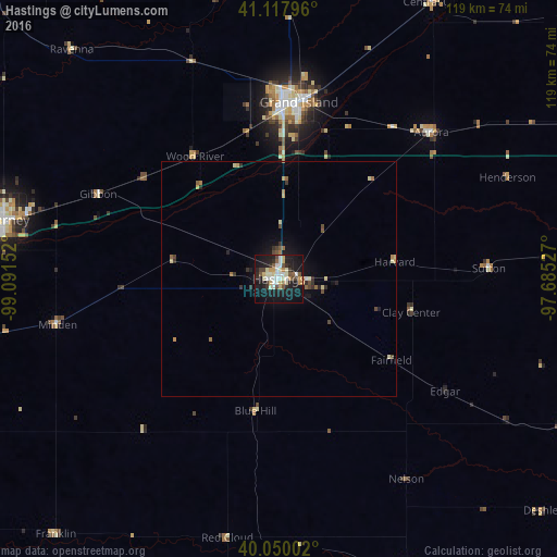
Analysis of Hastings night lights 2016
Square area 10x10 km:
 6.17%
6.17%90-99
8.77%80-89
7.31%70-79
2.92%60-69
1.95%50-59
3.57%40-49
4.22%30-39
3.25%20-29
9.25%10-19
41.88%0-9
10.71%Square area 50x50 km:
0.26%90-99
0.45%80-89
0.5%70-79
0.27%60-69
0.31%50-59
0.34%40-49
0.42%30-39
0.39%20-29
0.64%10-19
2.38%0-9
94.05%Clear (daylight) street map image can be seen on geolist.org.
Map coordinates:
41° 7' 4.7" North, 99° 5' 29.5" West
40° 35' 10" North, 98° 23' 18.2" West
40° 3' 0.1" North, 97° 41' 7" West
Some cities around Hastings sort by population:
• Grand Island
37.9 km =23.5 mi,  5°
5°
• Kearney
59.8 km =37.2 mi,  282°
282°
• Columbus
127 km =78.9 mi,  42°
42°
• Lexington
116.1 km =72.1 mi, 280°
• York
74.1 km =46 mi,  64°
64°
• Seward
114.3 km =71 mi,  71°
71°
• Crete
120.5 km =74.9 mi,  87°
87°
• Holdrege
84.5 km =52.5 mi,  258°
258°
5069802 (p: 24,924)
Sources (retrieved 2019-11-25):
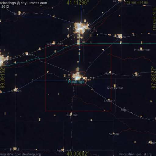
» Earth at Night: Flat Maps 2012, 2016