Seward night lights from space
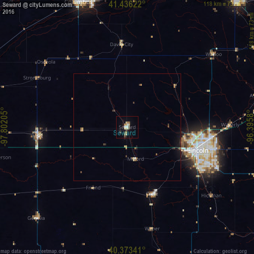
Night Light of Seward (Nebraska) from space (United States) Src. Average luminocity for 10x10km area is 14.5646% and for 50x50km: 1.4171%.
Analysis of Seward night lights 2016
Square area 10x10 km:
 1.36%
1.36%90-99
2.38%80-89
3.74%70-79
0.68%60-69
1.36%50-59
1.36%40-49
3.4%30-39
0.51%20-29
1.7%10-19
3.06%0-9
80.44%Square area 50x50 km:
0.05%90-99
0.12%80-89
0.31%70-79
0.14%60-69
0.14%50-59
0.21%40-49
0.23%30-39
0.26%20-29
0.25%10-19
0.77%0-9
97.51%Clear (daylight) street map image can be seen on geolist.org.
Map coordinates:
41° 26' 10.4" North, 97° 48' 7.4" West
40° 54' 25" North, 97° 5' 56.1" West
40° 22' 24.3" North, 96° 23' 44.9" West
Some cities around Seward sort by population:
• Lincoln
38.2 km =23.7 mi,  108°
108°
• Fremont
77.2 km =48 mi,  40°
40°
• Columbus
62.3 km =38.7 mi,  338°
338°
• Beatrice
77 km =47.8 mi,  157°
157°
• York
41.7 km =25.9 mi,  264°
264°
• Crete
33.1 km =20.6 mi, 159°
• Schuyler
60.2 km =37.4 mi,  3°
3°
• Gretna
76.6 km =47.6 mi,  70°
70°
5078792 (p: 7,167)
Sources (retrieved 2019-11-25):
» Earth at Night: Flat Maps 2012, 2016