Columbus night lights from space
Night Light of Columbus (Nebraska) from space (United States) Src. Average luminocity for 10x10km area is 42.0969% and for 50x50km: 3.1142%.
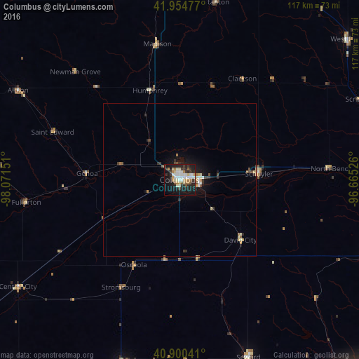
Analysis of Columbus night lights 2016
Square area 10x10 km:
 8.16%
8.16%90-99
10.2%80-89
5.44%70-79
3.23%60-69
5.44%50-59
3.57%40-49
1.7%30-39
6.8%20-29
13.78%10-19
32.82%0-9
8.84%Square area 50x50 km:
0.37%90-99
0.55%80-89
0.48%70-79
0.25%60-69
0.38%50-59
0.25%40-49
0.33%30-39
0.51%20-29
0.82%10-19
2.75%0-9
93.32%Clear (daylight) street map image can be seen on geolist.org.
Map coordinates:
41° 57' 17.2" North, 98° 4' 17.4" West
41° 25' 47" North, 97° 22' 6.2" West
40° 54' 1.5" North, 96° 39' 54.9" West
Some cities around Columbus sort by population:
• Lincoln
91.4 km =56.8 mi,  139°
139°
• Fremont
72.6 km =45.1 mi,  89°
89°
• Norfolk
66.7 km =41.4 mi,  356°
356°
• York
65.2 km =40.5 mi,  196°
196°
• Seward
62.3 km =38.7 mi,  158°
158°
• Crete
95.5 km =59.3 mi, 159°
• Schuyler
25.8 km =16 mi, 85°
• Wayne
93.7 km =58.2 mi,  18°
18°
5066001 (p: 22,797)
Sources (retrieved 2019-11-25):
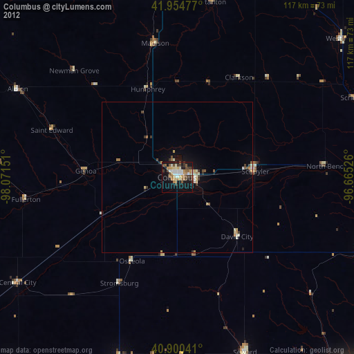
» Earth at Night: Flat Maps 2012, 2016