Wykagyl night lights from space
Night Light of Wykagyl (New York) from space (United States) Src. Average luminocity for 10x10km area is 87.3027% and for 50x50km: 70.4964%.
Analysis of Wykagyl night lights 2016
Square area 10x10 km:
 35.03%
90-99
26.02%80-89
9.86%70-79
12.41%60-69
10.37%50-59
2.55%40-49
1.53%30-39
1.53%20-29
0.68%10-19
0%0-9
0%Square area 50x50 km:
25.9%90-99
15.15%80-89
6.62%70-79
8.76%60-69
12.16%50-59
7.28%40-49
4.61%30-39
4.69%20-29
5.52%10-19
5.24%0-9
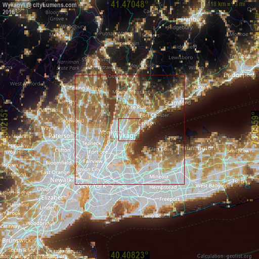
4.08%Clear (daylight) street map image can be seen on geolist.org.
Map coordinates:
41° 28' 13.7" North, 74° 30' 7.7" West
40° 56' 29.4" North, 73° 47' 56.5" West
40° 24' 29.6" North, 73° 5' 45.2" West
Some cities around Wykagyl sort by population:
• New Rochelle
3.6 km =2.2 mi,  157°
157°
• Mount Vernon
4.5 km =2.8 mi,  224°
224°
• Eastchester
2 km =1.2 mi,  336°
336°
• Pelham
3.6 km =2.2 mi,  191°
191°
• Tuckahoe
2.6 km =1.6 mi,  292°
292°
• Bronxville
2.8 km =1.7 mi,  262°
262°
• Larchmont
4.2 km =2.6 mi,  110°
110°
• Pelham Manor
5.2 km =3.2 mi, 187°
5145142 (p: 14,146)
Sources (retrieved 2019-11-25):
» Earth at Night: Flat Maps 2012, 2016