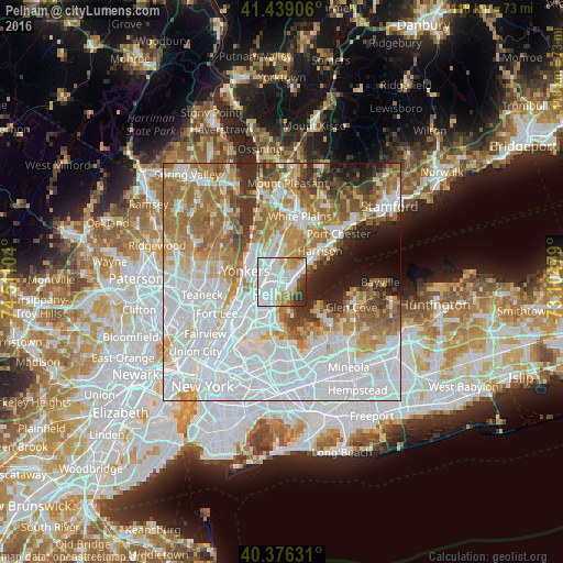
Pelham night lights from space
Night Light of Pelham (New York) from space (United States) Src. Average luminocity for 10x10km area is 86.3401% and for 50x50km: 75.0722%.
Analysis of Pelham night lights 2016
Square area 10x10 km:
 45.41%
90-99
22.28%80-89
5.78%70-79
7.65%60-69
4.93%50-59
2.89%40-49
3.74%30-39
4.76%20-29
2.55%10-19
0%0-9
0%Square area 50x50 km:
32.15%90-99
15.9%80-89
6.24%70-79
8.67%60-69
11.57%50-59
6.26%40-49
3.77%30-39
4.04%20-29
4.25%10-19
4.36%0-9
2.8%Clear (daylight) street map image can be seen on geolist.org.
Map coordinates:
41° 26' 20.6" North, 74° 30' 39.7" West
40° 54' 35.4" North, 73° 48' 28.5" West
40° 22' 34.7" North, 73° 6' 17.2" West
Some cities around Pelham sort by population:
• New Rochelle
2.2 km =1.4 mi,  85°
85°
• Mount Vernon
2.5 km =1.6 mi,  277°
277°
• Wakefield
4 km =2.5 mi,  250°
250°
• Baychester
5.1 km =3.2 mi,  208°
208°
• Wykagyl
3.6 km =2.2 mi,  11°
11°
• Tuckahoe
4.8 km =3 mi,  340°
340°
• Bronxville
3.7 km =2.3 mi,  327°
327°
• Larchmont
5.1 km =3.2 mi,  66°
66°
5130854 (p: 7,048)
Sources (retrieved 2019-11-25):
» Earth at Night: Flat Maps 2012, 2016