New Rochelle night lights from space
Night Light of New Rochelle (New York) from space (United States) Src. Average luminocity for 10x10km area is 75.5289% and for 50x50km: 73.2653%.
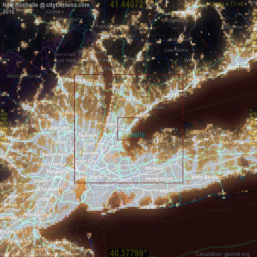
Analysis of New Rochelle night lights 2016
Square area 10x10 km:
 27.38%
90-99
24.32%80-89
5.95%70-79
7.65%60-69
6.29%50-59
4.59%40-49
5.1%30-39
5.27%20-29
12.76%10-19
0.68%0-9
0%Square area 50x50 km:
30.8%90-99
15.68%80-89
5.97%70-79
8.19%60-69
11.07%50-59
6.68%40-49
4.13%30-39
4.2%20-29
4.7%10-19
4.83%0-9
3.75%Clear (daylight) street map image can be seen on geolist.org.
Map coordinates:
41° 26' 26.6" North, 74° 29' 7.7" West
40° 54' 41.4" North, 73° 46' 56.5" West
40° 22' 40.8" North, 73° 4' 45.2" West
Some cities around New Rochelle sort by population:
• Mount Vernon
4.6 km =2.9 mi,  271°
271°
• Eastchester
5.7 km =3.5 mi,  337°
337°
• Wykagyl
3.6 km =2.2 mi, 337°
• Pelham
2.2 km =1.4 mi, 265°
• Tuckahoe
5.7 km =3.5 mi,  318°
318°
• Bronxville
5.1 km =3.2 mi,  305°
305°
• Larchmont
3.1 km =1.9 mi,  54°
54°
• Pelham Manor
2.7 km =1.7 mi,  229°
229°
5128549 (p: 79,846)
Sources (retrieved 2019-11-25):
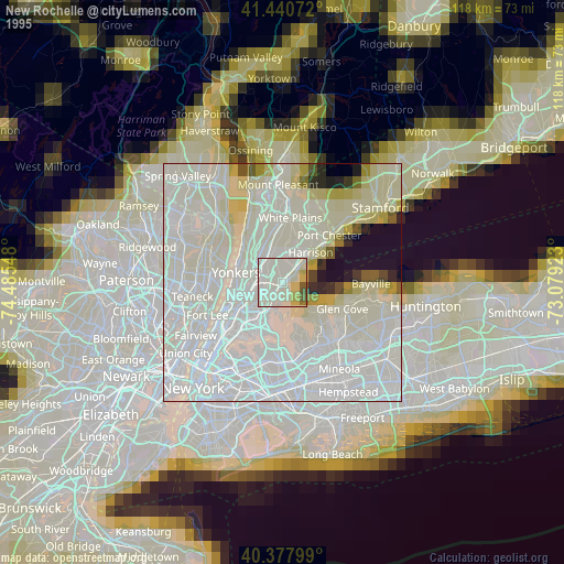
» NASA, Earths city lights 1995
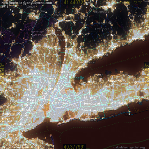
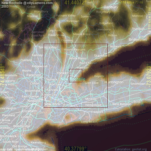
» NASA city lights 2003
» Earth at Night: Flat Maps 2012, 2016