Mount Vernon night lights from space
Night Light of Mount Vernon (New York) from space (United States) Src. Average luminocity for 10x10km area is 95.131% and for 50x50km: 76.1258%.
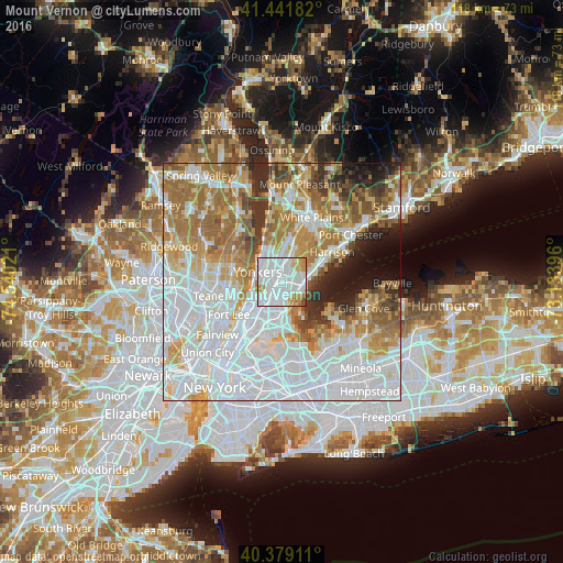
Analysis of Mount Vernon night lights 2016
Square area 10x10 km:
 53.06%
90-99
30.44%80-89
5.61%70-79
7.14%60-69
2.72%50-59
0.51%40-49
0.51%30-39
0%20-29
0%10-19
0%0-9
0%Square area 50x50 km:
32.36%90-99
16.19%80-89
6.76%70-79
8.96%60-69
11.74%50-59
6.17%40-49
3.7%30-39
3.96%20-29
4.19%10-19
4.01%0-9
1.96%Clear (daylight) street map image can be seen on geolist.org.
Map coordinates:
41° 26' 30.6" North, 74° 32' 24.8" West
40° 54' 45.4" North, 73° 50' 13.5" West
40° 22' 44.8" North, 73° 8' 2.3" West
Some cities around Mount Vernon sort by population:
• New Rochelle
4.6 km =2.9 mi,  91°
91°
• Wakefield
2.1 km =1.3 mi,  218°
218°
• Wykagyl
4.5 km =2.8 mi,  44°
44°
• Woodlawn
3 km =1.9 mi,  237°
237°
• Pelham
2.5 km =1.6 mi,  97°
97°
• Tuckahoe
4.3 km =2.7 mi,  10°
10°
• Bronxville
2.9 km =1.8 mi, 8°
• Pelham Manor
3.2 km =2 mi,  127°
127°
5127835 (p: 68,628)
Sources (retrieved 2019-11-25):
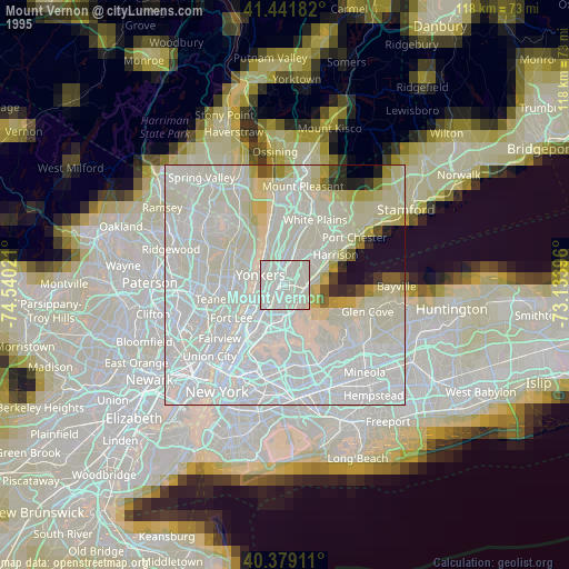
» NASA, Earths city lights 1995
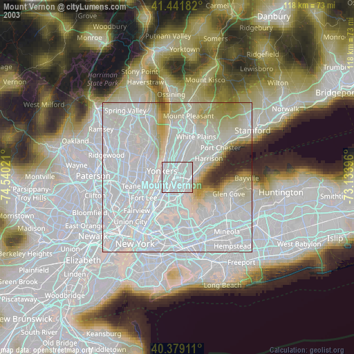
» NASA city lights 2003
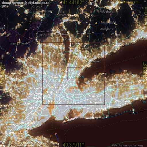
» Earth at Night: Flat Maps 2012, 2016