Woodside night lights from space
Night Light of Woodside (New York) from space (United States) Src. Average luminocity for 10x10km area is 99.8344% and for 50x50km: 79.8521%.
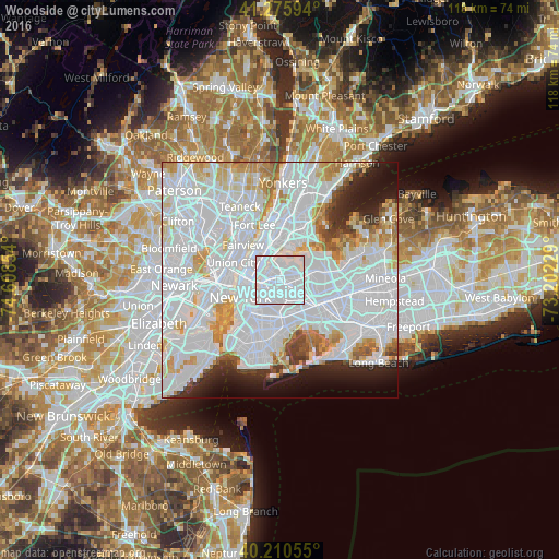
Analysis of Woodside night lights 2016
Square area 10x10 km:
 90.75%
90-99
9.25%80-89
0%70-79
0%60-69
0%50-59
0%40-49
0%30-39
0%20-29
0%10-19
0%0-9
0%Square area 50x50 km:
46.02%90-99
18.35%80-89
5.18%70-79
5.28%60-69
4.12%50-59
2.24%40-49
2.04%30-39
2.32%20-29
4.31%10-19
5.61%0-9
4.53%Clear (daylight) street map image can be seen on geolist.org.
Map coordinates:
41° 16' 33.4" North, 74° 36' 30.7" West
40° 44' 43.4" North, 73° 54' 19.5" West
40° 12' 38" North, 73° 12' 8.2" West
Some cities around Woodside sort by population:
• Astoria
3.6 km =2.2 mi,  324°
324°
• Elmhurst
2.5 km =1.6 mi,  113°
113°
• Corona
3.8 km =2.4 mi,  87°
87°
• Jackson Heights
2 km =1.2 mi,  55°
55°
• Sunnyside
2.6 km =1.6 mi,  256°
256°
• Maspeth
2.5 km =1.6 mi,  193°
193°
• Long Island City
3.7 km =2.3 mi,  269°
269°
• East Elmhurst
3.8 km =2.4 mi, 62°
5145067 (p: 41,981)
Sources (retrieved 2019-11-25):
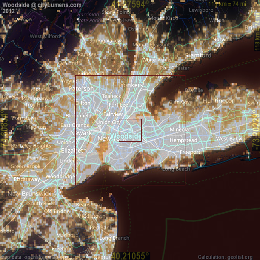
» Earth at Night: Flat Maps 2012, 2016