Astoria night lights from space
Night Light of Astoria (New York) from space (United States) Src. Average luminocity for 10x10km area is 99.5601% and for 50x50km: 84.5955%.
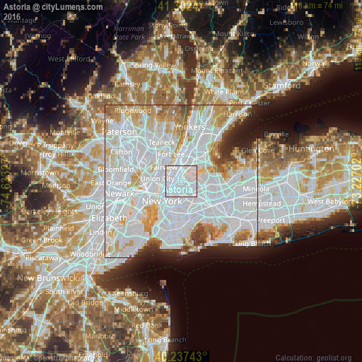
Analysis of Astoria night lights 2016
Square area 10x10 km:
 81.33%
90-99
17.86%80-89
0.81%70-79
0%60-69
0%50-59
0%40-49
0%30-39
0%20-29
0%10-19
0%0-9
0%Square area 50x50 km:
47.31%90-99
19.59%80-89
5.82%70-79
6.59%60-69
5.52%50-59
2.76%40-49
2.18%30-39
2.29%20-29
3.99%10-19
3.88%0-9
0.06%Clear (daylight) street map image can be seen on geolist.org.
Map coordinates:
41° 18' 8.6" North, 74° 37' 59.8" West
40° 46' 19.4" North, 73° 55' 48.5" West
40° 14' 14.7" North, 73° 13' 37.3" West
Some cities around Astoria sort by population:
• Manhattan
3.3 km =2.1 mi,  292°
292°
• Harlem
4.2 km =2.6 mi,  342°
342°
• East Harlem
2.7 km =1.7 mi, 337°
• Jackson Heights
4.2 km =2.6 mi,  115°
115°
• Mott Haven
4.2 km =2.6 mi,  8°
8°
• Sunnyside
3.6 km =2.2 mi,  187°
187°
• Woodside
3.6 km =2.2 mi,  144°
144°
• Long Island City
3.4 km =2.1 mi,  207°
207°
5107464 (p: 150,165)
Sources (retrieved 2019-11-25):
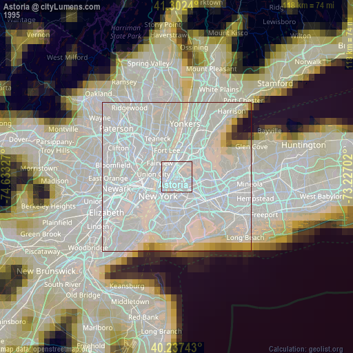
» NASA, Earths city lights 1995
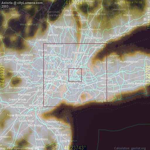
» NASA city lights 2003
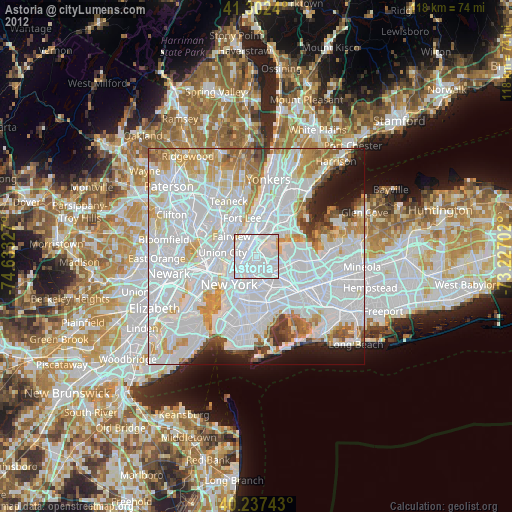
» Earth at Night: Flat Maps 2012, 2016