Sunnyside night lights from space
Night Light of Sunnyside (New York) from space (United States) Src. Average luminocity for 10x10km area is 99.9416% and for 50x50km: 80.8993%.
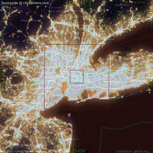
Analysis of Sunnyside night lights 2016
Square area 10x10 km:
 94.97%
90-99
5.03%80-89
0%70-79
0%60-69
0%50-59
0%40-49
0%30-39
0%20-29
0%10-19
0%0-9
0%Square area 50x50 km:
47.27%90-99
19.11%80-89
5.13%70-79
5%60-69
3.53%50-59
2.05%40-49
1.91%30-39
2.25%20-29
4.17%10-19
5.05%0-9
4.52%Clear (daylight) street map image can be seen on geolist.org.
Map coordinates:
41° 16' 13.5" North, 74° 38' 18.8" West
40° 44' 23.4" North, 73° 56' 7.5" West
40° 12' 17.8" North, 73° 13' 56.3" West
Some cities around Sunnyside sort by population:
• Astoria
3.6 km =2.2 mi,  7°
7°
• East Village
4.5 km =2.8 mi,  254°
254°
• Maspeth
2.7 km =1.7 mi,  133°
133°
• Woodside
2.6 km =1.6 mi,  76°
76°
• Greenpoint
2.2 km =1.4 mi,  216°
216°
• Williamsburg
3.2 km =2 mi,  208°
208°
• Gramercy Park
4.3 km =2.7 mi,  266°
266°
• Long Island City
1.3 km =0.8 mi,  296°
296°
5140221 (p: 49,833)
Sources (retrieved 2019-11-25):
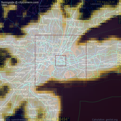
» NASA, Earths city lights 1995
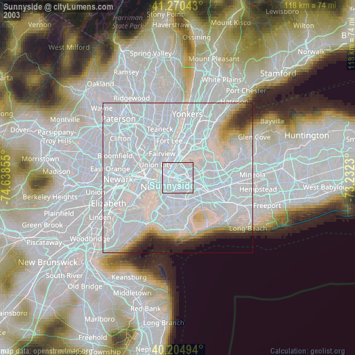
» NASA city lights 2003
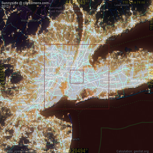
» Earth at Night: Flat Maps 2012, 2016