Long Island City night lights from space
Night Light of Long Island City (New York) from space (United States) Src. Average luminocity for 10x10km area is 99.9188% and for 50x50km: 82.0942%.
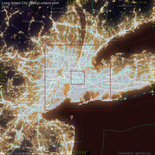
Analysis of Long Island City night lights 2016
Square area 10x10 km:
 93.34%
90-99
6.66%80-89
0%70-79
0%60-69
0%50-59
0%40-49
0%30-39
0%20-29
0%10-19
0%0-9
0%Square area 50x50 km:
47.7%90-99
19.48%80-89
5.43%70-79
5.22%60-69
3.68%50-59
2.09%40-49
1.88%30-39
2.22%20-29
4.04%10-19
4.6%0-9
3.65%Clear (daylight) street map image can be seen on geolist.org.
Map coordinates:
41° 16' 31.4" North, 74° 39' 6.8" West
40° 44' 41.4" North, 73° 56' 55.5" West
40° 12' 35.9" North, 73° 14' 44.3" West
Some cities around Long Island City sort by population:
• Astoria
3.4 km =2.1 mi,  27°
27°
• East Village
3.7 km =2.3 mi,  242°
242°
• Sunnyside
1.3 km =0.8 mi,  116°
116°
• Maspeth
3.9 km =2.4 mi,  128°
128°
• Woodside
3.7 km =2.3 mi,  89°
89°
• Greenpoint
2.4 km =1.5 mi,  184°
184°
• Williamsburg
3.4 km =2.1 mi,  186°
186°
• Gramercy Park
3.3 km =2.1 mi,  255°
255°
5125125 (p: 25,595)
Sources (retrieved 2019-11-25):
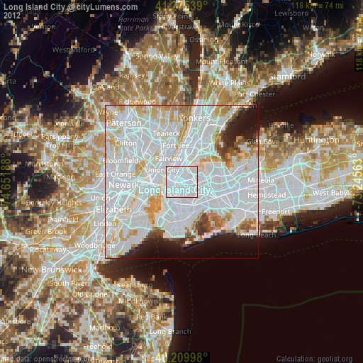
» Earth at Night: Flat Maps 2012, 2016