Elmhurst night lights from space
Night Light of Elmhurst (New York) from space (United States) Src. Average luminocity for 10x10km area is 99.862% and for 50x50km: 76.8268%.
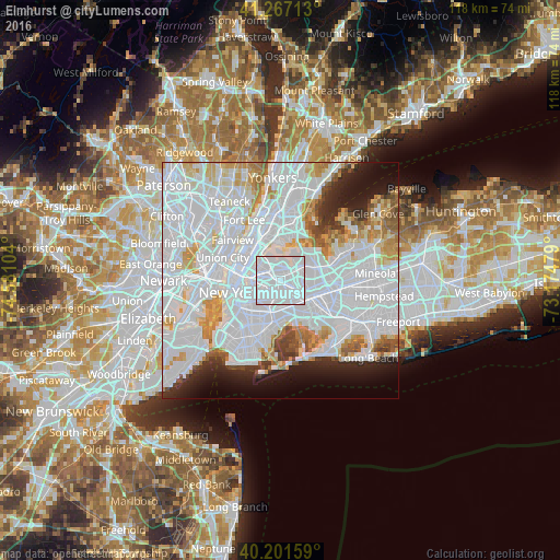
Analysis of Elmhurst night lights 2016
Square area 10x10 km:
 90.91%
90-99
9.09%80-89
0%70-79
0%60-69
0%50-59
0%40-49
0%30-39
0%20-29
0%10-19
0%0-9
0%Square area 50x50 km:
44.31%90-99
17.02%80-89
4.77%70-79
5.05%60-69
4.09%50-59
2.69%40-49
2.22%30-39
2.39%20-29
4.47%10-19
6.06%0-9
6.92%Clear (daylight) street map image can be seen on geolist.org.
Map coordinates:
41° 16' 1.7" North, 74° 34' 51.7" West
40° 44' 11.4" North, 73° 52' 40.5" West
40° 12' 5.7" North, 73° 10' 29.2" West
Some cities around Elmhurst sort by population:
• Corona
1.9 km =1.2 mi,  51°
51°
• Forest Hills
3.2 km =2 mi,  133°
133°
• Jackson Heights
2.2 km =1.4 mi,  343°
343°
• Maspeth
3.3 km =2.1 mi,  243°
243°
• Rego Park
2.4 km =1.5 mi,  117°
117°
• Woodside
2.5 km =1.6 mi,  293°
293°
• Middle Village
2.2 km =1.4 mi,  187°
187°
• East Elmhurst
3 km =1.9 mi,  21°
21°
5116495 (p: 113,364)
Sources (retrieved 2019-11-25):
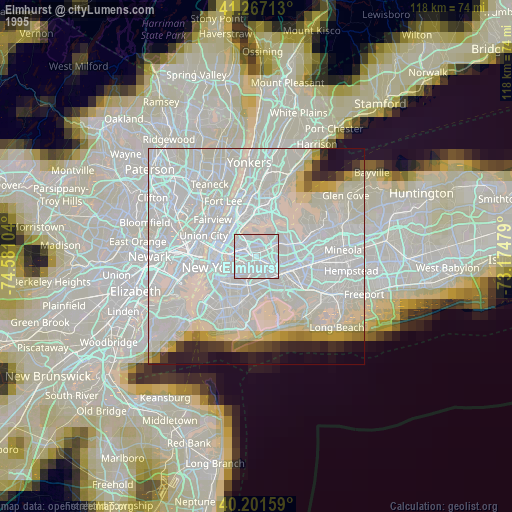
» NASA, Earths city lights 1995
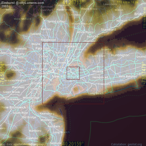
» NASA city lights 2003
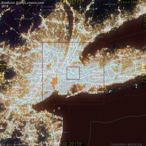
» Earth at Night: Flat Maps 2012, 2016