Maspeth night lights from space
Night Light of Maspeth (New York) from space (United States) Src. Average luminocity for 10x10km area is 99.9886% and for 50x50km: 77.1616%.
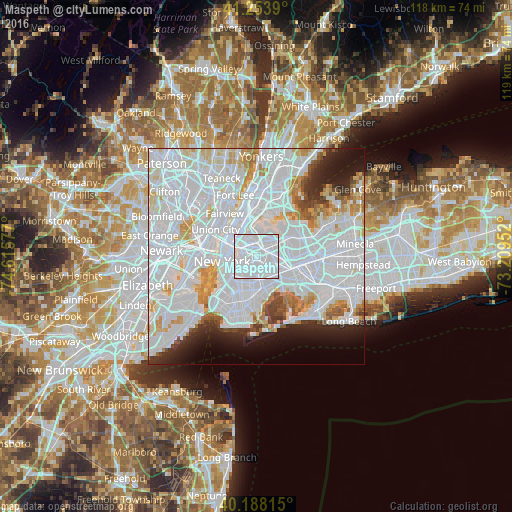
Analysis of Maspeth night lights 2016
Square area 10x10 km:
 99.03%
90-99
0.97%80-89
0%70-79
0%60-69
0%50-59
0%40-49
0%30-39
0%20-29
0%10-19
0%0-9
0%Square area 50x50 km:
45.74%90-99
17.89%80-89
4.56%70-79
4.17%60-69
3.33%50-59
2%40-49
1.98%30-39
2.38%20-29
4.42%10-19
5.51%0-9
8.03%Clear (daylight) street map image can be seen on geolist.org.
Map coordinates:
41° 15' 14" North, 74° 36' 56.8" West
40° 43' 23.4" North, 73° 54' 45.5" West
40° 11' 17.3" North, 73° 12' 34.3" West
Some cities around Maspeth sort by population:
• Elmhurst
3.3 km =2.1 mi,  63°
63°
• Bushwick
3.3 km =2.1 mi,  189°
189°
• Ridgewood
2.6 km =1.6 mi,  167°
167°
• Sunnyside
2.7 km =1.7 mi,  313°
313°
• Woodside
2.5 km =1.6 mi,  13°
13°
• Greenpoint
3.2 km =2 mi,  271°
271°
• Glendale
3.2 km =2 mi,  137°
137°
• Middle Village
2.7 km =1.7 mi,  105°
105°
5126180 (p: 48,325)
Sources (retrieved 2019-11-25):
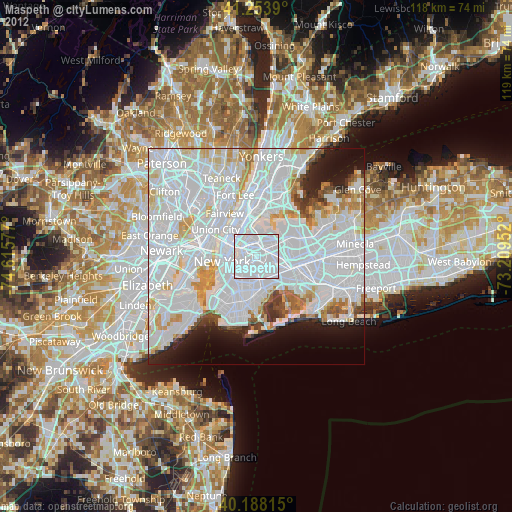
» Earth at Night: Flat Maps 2012, 2016