Woodrow night lights from space
Night Light of Woodrow (New York) from space (United States) Src. Average luminocity for 10x10km area is 82.5146% and for 50x50km: 69.8513%.
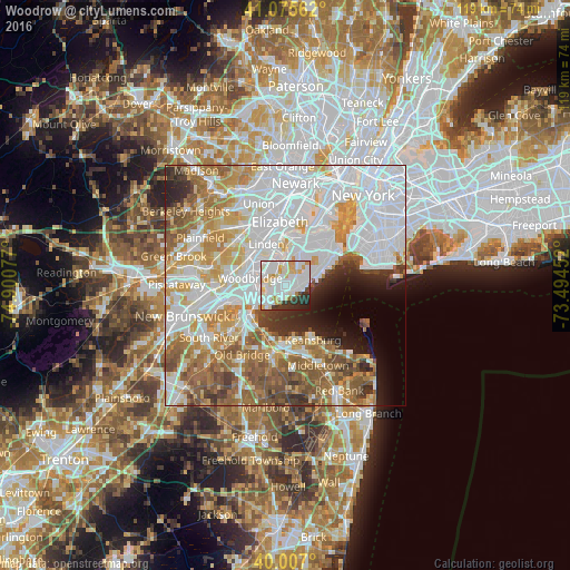
Analysis of Woodrow night lights 2016
Square area 10x10 km:
 32.63%
90-99
30.19%80-89
9.58%70-79
7.14%60-69
1.95%50-59
0.32%40-49
2.27%30-39
7.31%20-29
7.79%10-19
0.81%0-9
0%Square area 50x50 km:
28%90-99
14.81%80-89
7.43%70-79
8.33%60-69
8.9%50-59
8.09%40-49
4.04%30-39
3.52%20-29
4.04%10-19
4.06%0-9
8.79%Clear (daylight) street map image can be seen on geolist.org.
Map coordinates:
41° 4' 32.2" North, 74° 54' 2.8" West
40° 32' 36.4" North, 74° 11' 51.5" West
40° 0' 25.2" North, 73° 29' 40.3" West
Some cities around Woodrow sort by population:
• Staten Island
5.3 km =3.3 mi,  66°
66°
• Perth Amboy
7 km =4.3 mi,  234°
234°
• Carteret
4.6 km =2.9 mi,  325°
325°
• Great Kills
4.1 km =2.5 mi, 72°
• New Springville
6.3 km =3.9 mi,  27°
27°
• Rossville
1.9 km =1.2 mi,  315°
315°
• Eltingville
2.7 km =1.7 mi,  85°
85°
• Huguenot
0.7 km =0.4 mi,  159°
159°
5145034 (p: 21,005)
Sources (retrieved 2019-11-25):
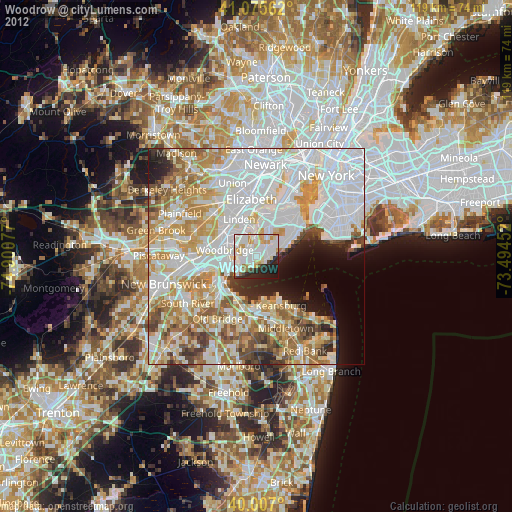
» Earth at Night: Flat Maps 2012, 2016