Great Kills night lights from space
Night Light of Great Kills (New York) from space (United States) Src. Average luminocity for 10x10km area is 76.3279% and for 50x50km: 68.5781%.

Analysis of Great Kills night lights 2016
Square area 10x10 km:
 32.95%
90-99
24.68%80-89
5.68%70-79
7.47%60-69
1.46%50-59
1.79%40-49
3.57%30-39
5.19%20-29
11.04%10-19
5.84%0-9
0.32%Square area 50x50 km:
29.73%90-99
14.4%80-89
7.04%70-79
7.47%60-69
8.33%50-59
6.62%40-49
3.52%30-39
3.17%20-29
3.32%10-19
4.24%0-9
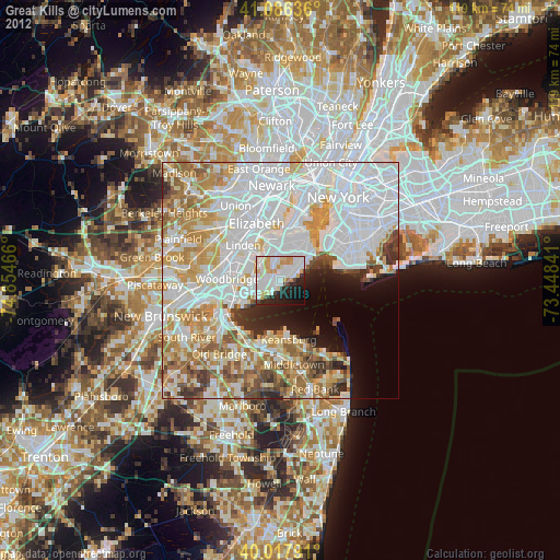
12.17%Clear (daylight) street map image can be seen on geolist.org.
Map coordinates:
41° 5' 10.9" North, 74° 51' 16.8" West
40° 33' 15.4" North, 74° 9' 5.5" West
40° 1' 4.5" North, 73° 26' 54.3" West
Some cities around Great Kills sort by population:
• Staten Island
1.3 km =0.8 mi,  47°
47°
• Woodrow
4.1 km =2.5 mi,  252°
252°
• New Springville
4.5 km =2.8 mi,  347°
347°
• Oakwood
3.2 km =2 mi,  70°
70°
• Eltingville
1.6 km =1 mi,  230°
230°
• Huguenot
4.1 km =2.5 mi,  242°
242°
• New Dorp
3.7 km =2.3 mi, 53°
• New Dorp Beach
4.3 km =2.7 mi, 73°
5119211 (p: 22,000)
Sources (retrieved 2019-11-25):
» Earth at Night: Flat Maps 2012, 2016