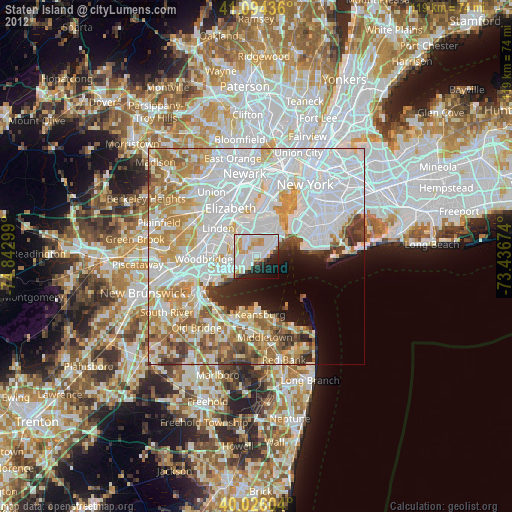
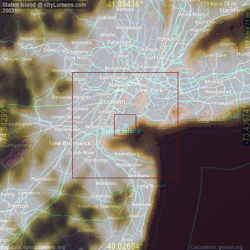
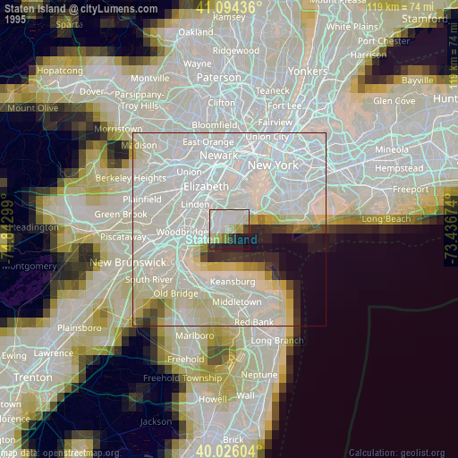
Staten Island night lights from space
Night Light of Staten Island (New York) from space (United States) Src. Average luminocity for 10x10km area is 77.9951% and for 50x50km: 68.6303%.
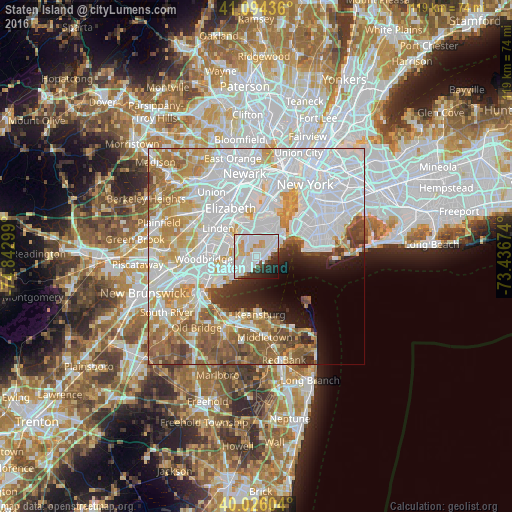
Analysis of Staten Island night lights 2016
Square area 10x10 km:
 36.69%
90-99
24.19%80-89
4.87%70-79
6.98%60-69
1.14%50-59
1.79%40-49
3.9%30-39
4.38%20-29
10.23%10-19
5.36%0-9
0.49%Square area 50x50 km:
30.6%90-99
14.51%80-89
6.81%70-79
7.44%60-69
7.89%50-59
6.21%40-49
3.35%30-39
2.8%20-29
3.23%10-19
4.3%0-9
12.85%Clear (daylight) street map image can be seen on geolist.org.
Map coordinates:
41° 5' 39.7" North, 74° 50' 34.8" West
40° 33' 44.4" North, 74° 8' 23.5" West
40° 1' 33.7" North, 73° 26' 12.3" West
Some cities around Staten Island sort by population:
• Great Kills
1.3 km =0.8 mi,  227°
227°
• New Springville
4 km =2.5 mi,  330°
330°
• Oakwood
2 km =1.2 mi,  84°
84°
• Eltingville
2.9 km =1.8 mi, 229°
• Dongan Hills
4.7 km =2.9 mi,  51°
51°
• Midland Beach
4 km =2.5 mi,  72°
72°
• New Dorp
2.4 km =1.5 mi,  57°
57°
• New Dorp Beach
3.1 km =1.9 mi, 83°
5139568 (p: 468,730)
Sources (retrieved 2019-11-25):
» NASA, Earths city lights 1995
» NASA city lights 2003
» Earth at Night: Flat Maps 2012, 2016