Carteret night lights from space
Night Light of Carteret (New Jersey) from space (United States) Src. Average luminocity for 10x10km area is 96.3377% and for 50x50km: 72.8974%.
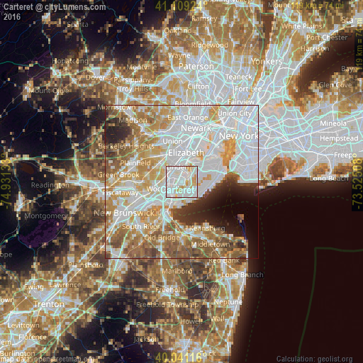
Analysis of Carteret night lights 2016
Square area 10x10 km:
 47.56%
90-99
38.64%80-89
8.12%70-79
5.68%60-69
0%50-59
0%40-49
0%30-39
0%20-29
0%10-19
0%0-9
0%Square area 50x50 km:
28.8%90-99
16.46%80-89
7.88%70-79
9.38%60-69
9.19%50-59
7.37%40-49
3.62%30-39
3.1%20-29
4.3%10-19
3.89%0-9
6.01%Clear (daylight) street map image can be seen on geolist.org.
Map coordinates:
41° 6' 33.3" North, 74° 55' 52.8" West
40° 34' 38.4" North, 74° 13' 41.5" West
40° 2' 28.2" North, 73° 31' 30.3" West
Some cities around Carteret sort by population:
• Linden
5.2 km =3.2 mi,  344°
344°
• Rahway
5.4 km =3.4 mi,  309°
309°
• Woodrow
4.6 km =2.9 mi,  145°
145°
• New Springville
5.8 km =3.6 mi,  71°
71°
• Woodbridge
5.2 km =3.2 mi,  245°
245°
• Rossville
2.7 km =1.7 mi, 152°
• Avenel
4.8 km =3 mi,  274°
274°
• Huguenot
5.3 km =3.3 mi, 147°
5096316 (p: 24,170)
Sources (retrieved 2019-11-25):
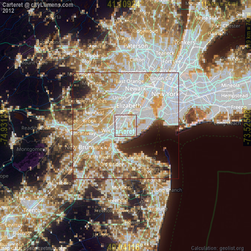
» Earth at Night: Flat Maps 2012, 2016