Eltingville night lights from space
Night Light of Eltingville (New York) from space (United States) Src. Average luminocity for 10x10km area is 75.7224% and for 50x50km: 68.7713%.
Analysis of Eltingville night lights 2016
Square area 10x10 km:
 31.01%
90-99
24.03%80-89
7.31%70-79
7.79%60-69
1.62%50-59
1.46%40-49
3.41%30-39
7.14%20-29
11.2%10-19
5.03%0-9
0%Square area 50x50 km:
28.89%90-99
14.27%80-89
7.2%70-79
7.74%60-69
8.67%50-59
7.42%40-49
3.68%30-39
3.29%20-29
3.59%10-19
4.17%0-9
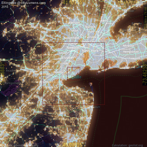
11.07%Clear (daylight) street map image can be seen on geolist.org.
Map coordinates:
41° 4' 39.2" North, 74° 52' 7.8" West
40° 32' 43.4" North, 74° 9' 56.5" West
40° 0' 32.2" North, 73° 27' 45.3" West
Some cities around Eltingville sort by population:
• Staten Island
2.9 km =1.8 mi,  49°
49°
• Great Kills
1.6 km =1 mi, 50°
• Woodrow
2.7 km =1.7 mi,  265°
265°
• New Springville
5.3 km =3.3 mi,  2°
2°
• Rossville
4.2 km =2.6 mi,  285°
285°
• Oakwood
4.7 km =2.9 mi,  63°
63°
• Huguenot
2.6 km =1.6 mi,  249°
249°
• New Dorp
5.3 km =3.3 mi, 52°
5116546 (p: 10,573)
Sources (retrieved 2019-11-25):
» Earth at Night: Flat Maps 2012, 2016