Huguenot night lights from space
Night Light of Huguenot (New York) from space (United States) Src. Average luminocity for 10x10km area is 78.349% and for 50x50km: 69.3798%.
Analysis of Huguenot night lights 2016
Square area 10x10 km:
 30.84%
90-99
27.27%80-89
8.93%70-79
6.01%60-69
1.95%50-59
0.49%40-49
3.25%30-39
8.77%20-29
10.39%10-19
2.11%0-9
0%Square area 50x50 km:
27.7%90-99
14.69%80-89
7.31%70-79
8.31%60-69
8.92%50-59
8.08%40-49
4.08%30-39
3.63%20-29
4%10-19
4.08%0-9
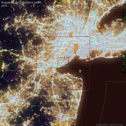
9.2%Clear (daylight) street map image can be seen on geolist.org.
Map coordinates:
41° 4' 10.4" North, 74° 53' 51.8" West
40° 32' 14.4" North, 74° 11' 40.5" West
40° 0' 3" North, 73° 29' 29.3" West
Some cities around Huguenot sort by population:
• Staten Island
5.4 km =3.4 mi,  58°
58°
• Perth Amboy
6.9 km =4.3 mi,  240°
240°
• Carteret
5.3 km =3.3 mi,  327°
327°
• Great Kills
4.1 km =2.5 mi, 62°
• Woodrow
0.7 km =0.4 mi,  339°
339°
• New Springville
6.8 km =4.2 mi,  23°
23°
• Rossville
2.6 km =1.6 mi,  321°
321°
• Eltingville
2.6 km =1.6 mi,  69°
69°
5121549 (p: 9,995)
Sources (retrieved 2019-11-25):
» Earth at Night: Flat Maps 2012, 2016