New Springville night lights from space
Night Light of New Springville (New York) from space (United States) Src. Average luminocity for 10x10km area is 95.2565% and for 50x50km: 72.7714%.
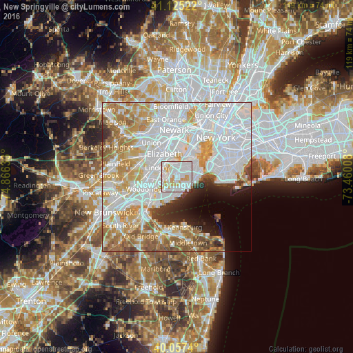
Analysis of New Springville night lights 2016
Square area 10x10 km:
 55.68%
90-99
26.14%80-89
8.93%70-79
7.95%60-69
0%50-59
0.81%40-49
0.49%30-39
0%20-29
0%10-19
0%0-9
0%Square area 50x50 km:
33%90-99
16.5%80-89
7.45%70-79
8.48%60-69
7.69%50-59
4.79%40-49
2.38%30-39
2.5%20-29
3.27%10-19
3.85%0-9
10.07%Clear (daylight) street map image can be seen on geolist.org.
Map coordinates:
41° 7' 30.8" North, 74° 51' 58.8" West
40° 35' 36.4" North, 74° 9' 47.5" West
40° 3' 26.6" North, 73° 27' 36.3" West
Some cities around New Springville sort by population:
• Staten Island
4 km =2.5 mi,  150°
150°
• Great Kills
4.5 km =2.8 mi,  167°
167°
• Mariners Harbor
4.8 km =3 mi,  4°
4°
• Port Richmond
5 km =3.1 mi,  27°
27°
• Graniteville
3.7 km =2.3 mi,  19°
19°
• Oakwood
5.2 km =3.2 mi,  129°
129°
• Westerleigh
4.1 km =2.5 mi,  40°
40°
• New Dorp
4.5 km =2.8 mi,  118°
118°
5128566 (p: 20,756)
Sources (retrieved 2019-11-25):
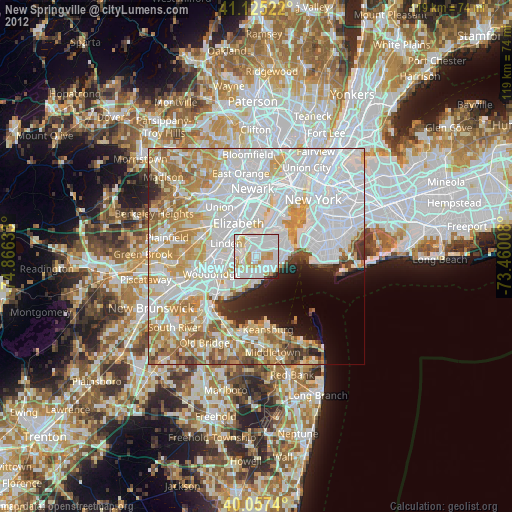
» Earth at Night: Flat Maps 2012, 2016