Perth Amboy night lights from space
Night Light of Perth Amboy (New Jersey) from space (United States) Src. Average luminocity for 10x10km area is 80.534% and for 50x50km: 69.8007%.
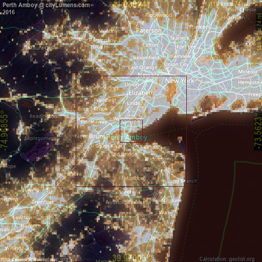
Analysis of Perth Amboy night lights 2016
Square area 10x10 km:
 31.97%
90-99
28.74%80-89
6.12%70-79
3.23%60-69
6.46%50-59
0.68%40-49
6.97%30-39
14.29%20-29
1.53%10-19
0%0-9
0%Square area 50x50 km:
21.44%90-99
15.36%80-89
8.09%70-79
9.79%60-69
11.07%50-59
10.85%40-49
6.16%30-39
5.02%20-29
4.88%10-19
3.31%0-9
4.03%Clear (daylight) street map image can be seen on geolist.org.
Map coordinates:
41° 2' 21.3" North, 74° 58' 6.8" West
40° 30' 24.4" North, 74° 15' 55.5" West
39° 58' 12.1" North, 73° 33' 44.3" West
Some cities around Perth Amboy sort by population:
• Woodrow
7 km =4.3 mi,  54°
54°
• Woodbridge
5.9 km =3.7 mi,  344°
344°
• Rossville
7 km =4.3 mi,  38°
38°
• Fords
5 km =3.1 mi,  300°
300°
• Huguenot
6.9 km =4.3 mi,  60°
60°
• South Amboy
3.9 km =2.4 mi,  213°
213°
• Madison Park
7.1 km =4.4 mi, 210°
• Laurence Harbor
5.8 km =3.6 mi,  163°
163°
5102578 (p: 52,682)
Sources (retrieved 2019-11-25):
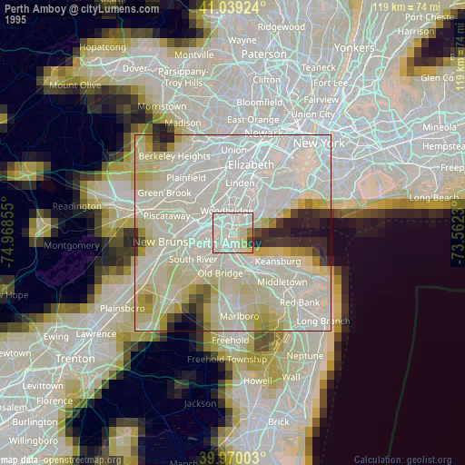
» NASA, Earths city lights 1995
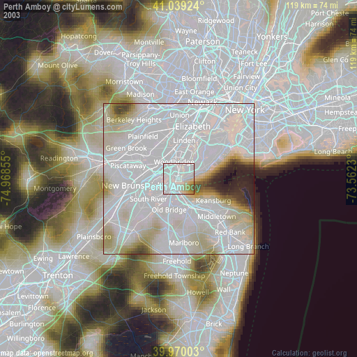
» NASA city lights 2003
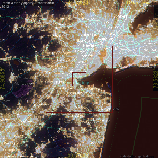
» Earth at Night: Flat Maps 2012, 2016