Rossville night lights from space
Night Light of Rossville (New York) from space (United States) Src. Average luminocity for 10x10km area is 92.6201% and for 50x50km: 71.2734%.
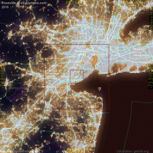
Analysis of Rossville night lights 2016
Square area 10x10 km:
 41.88%
90-99
37.18%80-89
8.12%70-79
6.33%60-69
1.62%50-59
0.32%40-49
1.46%30-39
1.95%20-29
1.14%10-19
0%0-9
0%Square area 50x50 km:
28.16%90-99
15.65%80-89
7.72%70-79
8.76%60-69
9.03%50-59
7.88%40-49
3.93%30-39
3.41%20-29
4.09%10-19
4.04%0-9
7.34%Clear (daylight) street map image can be seen on geolist.org.
Map coordinates:
41° 5' 15.9" North, 74° 54' 59.8" West
40° 33' 20.4" North, 74° 12' 48.5" West
40° 1' 9.5" North, 73° 30' 37.3" West
Some cities around Rossville sort by population:
• Staten Island
6.3 km =3.9 mi,  83°
83°
• Carteret
2.7 km =1.7 mi,  332°
332°
• Great Kills
5.2 km =3.2 mi,  91°
91°
• Woodrow
1.9 km =1.2 mi,  135°
135°
• New Springville
6 km =3.7 mi,  45°
45°
• Woodbridge
6 km =3.7 mi,  272°
272°
• Eltingville
4.2 km =2.6 mi,  105°
105°
• Huguenot
2.6 km =1.6 mi, 141°
5134449 (p: 18,792)
Sources (retrieved 2019-11-25):
» Earth at Night: Flat Maps 2012, 2016