West Whittier-Los Nietos night lights from space
Night Light of West Whittier-Los Nietos (California) from space (United States) Src. Average luminocity for 10x10km area is 95.0822% and for 50x50km: 89.6402%.
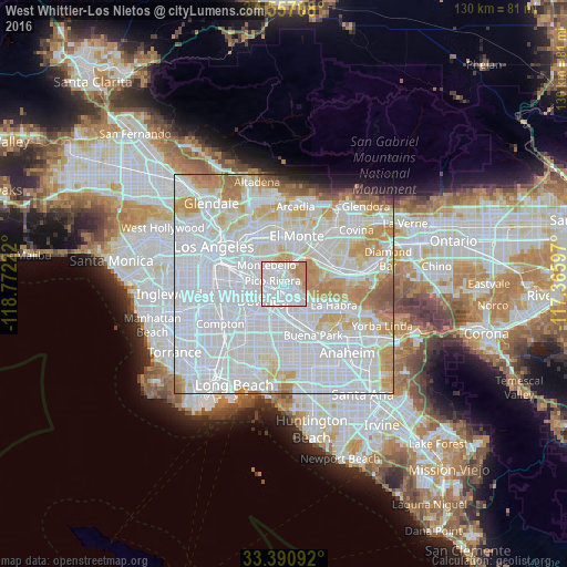
Analysis of West Whittier-Los Nietos night lights 2016
Square area 10x10 km:
 44.76%
90-99
39.69%80-89
4.37%70-79
8.39%60-69
2.8%50-59
0%40-49
0%30-39
0%20-29
0%10-19
0%0-9
0%Square area 50x50 km:
47.96%90-99
23.92%80-89
7.14%70-79
8.63%60-69
5.54%50-59
2.14%40-49
0.95%30-39
0.73%20-29
0.96%10-19
1.55%0-9
0.49%Clear (daylight) street map image can be seen on geolist.org.
Map coordinates:
34° 33' 25.5" North, 118° 46' 20" West
33° 58' 33.6" North, 118° 4' 8.7" West
33° 23' 27.3" North, 117° 21' 57.5" West
Some cities around West Whittier-Los Nietos sort by population:
• Downey
7.1 km =4.4 mi,  235°
235°
• Norwalk
8.3 km =5.2 mi,  188°
188°
• Whittier
3.4 km =2.1 mi,  83°
83°
• Pico Rivera
2.7 km =1.7 mi,  287°
287°
• Montebello
5 km =3.1 mi,  318°
318°
• South Whittier
4 km =2.5 mi,  136°
136°
• Bell Gardens
7.7 km =4.8 mi,  261°
261°
• Santa Fe Springs
3.5 km =2.2 mi,  205°
205°
7262518 (p: 25,540)
Sources (retrieved 2019-11-25):
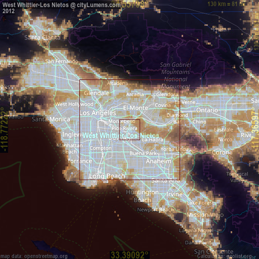
» Earth at Night: Flat Maps 2012, 2016