Bell Gardens night lights from space
Night Light of Bell Gardens (California) from space (United States) Src. Average luminocity for 10x10km area is 99.5892% and for 50x50km: 92.4869%.
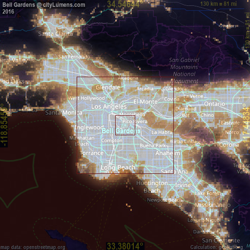
Analysis of Bell Gardens night lights 2016
Square area 10x10 km:
 74.65%
90-99
25.35%80-89
0%70-79
0%60-69
0%50-59
0%40-49
0%30-39
0%20-29
0%10-19
0%0-9
0%Square area 50x50 km:
53.72%90-99
24.47%80-89
6.4%70-79
6.34%60-69
4.2%50-59
1.99%40-49
1.04%30-39
0.75%20-29
0.79%10-19
0.31%0-9
0.01%Clear (daylight) street map image can be seen on geolist.org.
Map coordinates:
34° 32' 47.2" North, 118° 51' 16.5" West
33° 57' 55" North, 118° 9' 5.3" West
33° 22' 48.5" North, 117° 26' 54" West
Some cities around Bell Gardens sort by population:
• Downey
3.3 km =2.1 mi,  148°
148°
• South Gate
5.7 km =3.5 mi,  258°
258°
• Pico Rivera
5.4 km =3.4 mi,  68°
68°
• Bell
3.5 km =2.2 mi,  292°
292°
• Maywood
3.9 km =2.4 mi,  307°
307°
• Cudahy
3.2 km =2 mi, 260°
• Santa Fe Springs
6.4 km =4 mi,  108°
108°
• Commerce
4 km =2.5 mi,  348°
348°
5327319 (p: 43,106)
Sources (retrieved 2019-11-25):
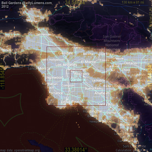
» Earth at Night: Flat Maps 2012, 2016