Montebello night lights from space
Night Light of Montebello (California) from space (United States) Src. Average luminocity for 10x10km area is 96.3462% and for 50x50km: 86.9479%.
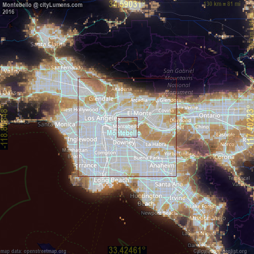
Analysis of Montebello night lights 2016
Square area 10x10 km:
 47.03%
90-99
40.21%80-89
7.87%70-79
4.9%60-69
0%50-59
0%40-49
0%30-39
0%20-29
0%10-19
0%0-9
0%Square area 50x50 km:
48.25%90-99
22.46%80-89
6.67%70-79
7.2%60-69
5.02%50-59
1.93%40-49
1.13%30-39
0.79%20-29
1.27%10-19
2.16%0-9
3.11%Clear (daylight) street map image can be seen on geolist.org.
Map coordinates:
34° 35' 25.1" North, 118° 48' 30.5" West
34° 0' 34.1" North, 118° 6' 19.3" West
33° 25' 28.6" North, 117° 24' 8" West
Some cities around Montebello sort by population:
• East Los Angeles
6.4 km =4 mi,  284°
284°
• Pico Rivera
3 km =1.9 mi,  164°
164°
• Bell Gardens
6.5 km =4 mi,  220°
220°
• West Whittier-Los Nietos
5 km =3.1 mi,  138°
138°
• South El Monte
7.2 km =4.5 mi,  48°
48°
• Santa Fe Springs
7.2 km =4.5 mi,  165°
165°
• Commerce
5.1 km =3.2 mi,  258°
258°
• South San Gabriel
4.5 km =2.8 mi,  12°
12°
5374322 (p: 63,921)
Sources (retrieved 2019-11-25):
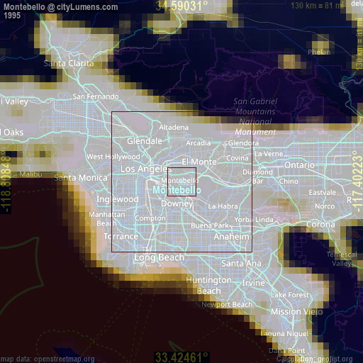
» NASA, Earths city lights 1995
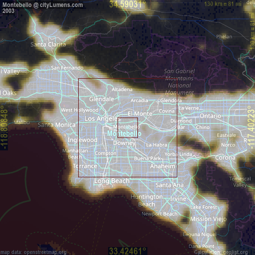
» NASA city lights 2003
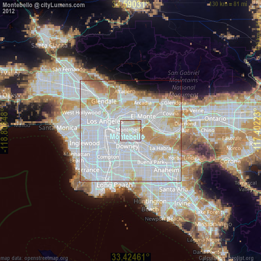
» Earth at Night: Flat Maps 2012, 2016