Norwalk night lights from space
Night Light of Norwalk (California) from space (United States) Src. Average luminocity for 10x10km area is 99.7587% and for 50x50km: 90.0927%.
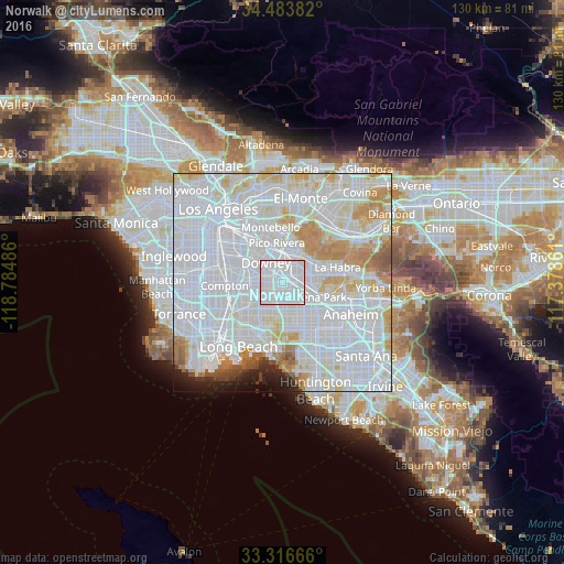

Analysis of Norwalk night lights 2016
Square area 10x10 km:
 81.99%
90-99
18.01%80-89
0%70-79
0%60-69
0%50-59
0%40-49
0%30-39
0%20-29
0%10-19
0%0-9
0%Square area 50x50 km:
50.93%90-99
24.4%80-89
6.62%70-79
6.7%60-69
3.96%50-59
1.63%40-49
0.88%30-39
0.7%20-29
1.5%10-19
1.94%0-9
0.73%Clear (daylight) street map image can be seen on geolist.org.
Map coordinates:
34° 29' 1.8" North, 118° 47' 5.5" West
33° 54' 8.1" North, 118° 4' 54.2" West
33° 18' 60" North, 117° 22' 43" West
Some cities around Norwalk sort by population:
• Downey
6.3 km =3.9 mi,  311°
311°
• Bellflower
4 km =2.5 mi,  234°
234°
• South Whittier
6.6 km =4.1 mi,  36°
36°
• Cerritos
5.1 km =3.2 mi,  162°
162°
• La Mirada
6.6 km =4.1 mi,  75°
75°
• Santa Fe Springs
5 km =3.1 mi,  356°
356°
• Artesia
4 km =2.5 mi,  181°
181°
• La Palma
7 km =4.3 mi,  152°
152°
5377995 (p: 107,140)
Sources (retrieved 2019-11-25):
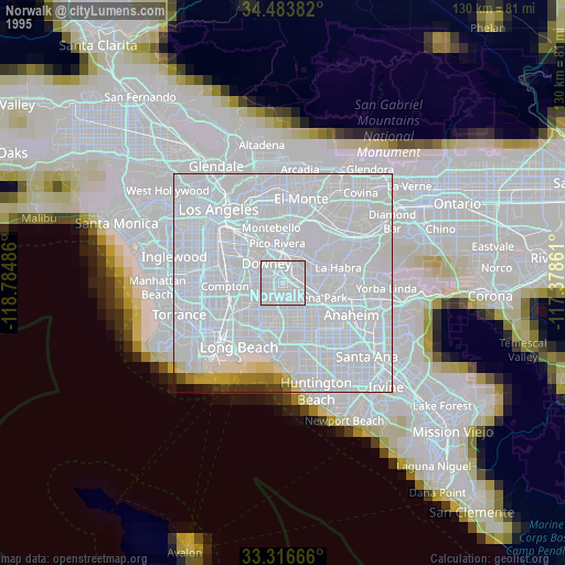
» NASA, Earths city lights 1995
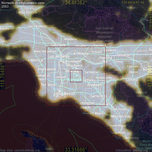
» NASA city lights 2003
» Earth at Night: Flat Maps 2012, 2016