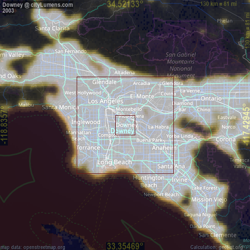
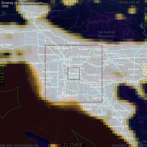
Downey night lights from space
Night Light of Downey (California) from space (United States) Src. Average luminocity for 10x10km area is 99.535% and for 50x50km: 92.9518%.

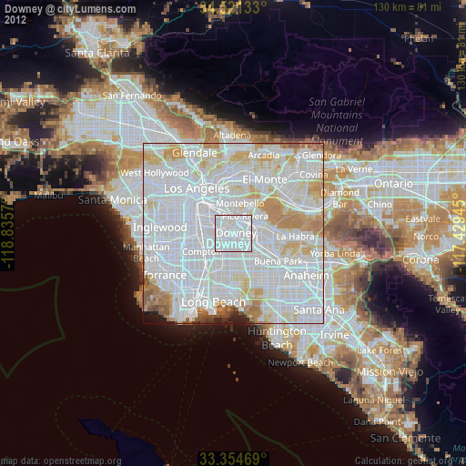
Analysis of Downey night lights 2016
Square area 10x10 km:
 71.5%
71.5%90-99
28.5%80-89
0%70-79
0%60-69
0%50-59
0%40-49
0%30-39
0%20-29
0%10-19
0%0-9
0%Square area 50x50 km:
53.75%90-99
25.28%80-89
6.5%70-79
6.33%60-69
3.78%50-59
2.07%40-49
0.96%30-39
0.37%20-29
0.52%10-19
0.37%0-9
0.06%Clear (daylight) street map image can be seen on geolist.org.
Map coordinates:
34° 31' 16.8" North, 118° 50' 8.5" West
33° 56' 24" North, 118° 7' 57.3" West
33° 21' 16.9" North, 117° 25' 46" West
Some cities around Downey sort by population:
• Norwalk
6.3 km =3.9 mi,  131°
131°
• Bellflower
6.6 km =4.1 mi,  167°
167°
• Pico Rivera
5.8 km =3.6 mi,  34°
34°
• Paramount
6.2 km =3.9 mi,  204°
204°
• Bell Gardens
3.3 km =2.1 mi,  328°
328°
• Bell
6.5 km =4 mi,  309°
309°
• Cudahy
5.4 km =3.4 mi,  295°
295°
• Santa Fe Springs
4.4 km =2.7 mi,  79°
79°
5343858 (p: 114,219)
Sources (retrieved 2019-11-25):
» NASA, Earths city lights 1995
» NASA city lights 2003
» Earth at Night: Flat Maps 2012, 2016