Whittier night lights from space
Night Light of Whittier (California) from space (United States) Src. Average luminocity for 10x10km area is 88.8934% and for 50x50km: 87.7323%.
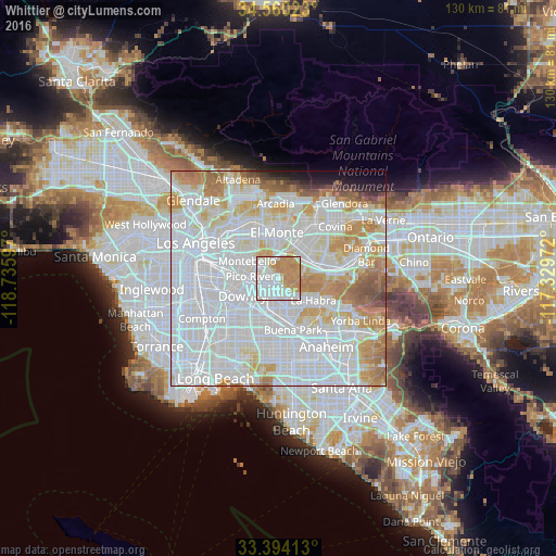
Analysis of Whittier night lights 2016
Square area 10x10 km:
 33.57%
90-99
27.1%80-89
6.29%70-79
24.65%60-69
8.39%50-59
0%40-49
0%30-39
0%20-29
0%10-19
0%0-9
0%Square area 50x50 km:
43.8%90-99
23.89%80-89
7.36%70-79
9.22%60-69
7.12%50-59
2.69%40-49
1.46%30-39
0.82%20-29
1.08%10-19
1.79%0-9
0.77%Clear (daylight) street map image can be seen on geolist.org.
Map coordinates:
34° 33' 36.8" North, 118° 44' 9.5" West
33° 58' 45" North, 118° 1' 58.2" West
33° 23' 38.9" North, 117° 19' 47" West
Some cities around Whittier sort by population:
• Pico Rivera
5.9 km =3.7 mi,  274°
274°
• South Whittier
3.3 km =2.1 mi,  190°
190°
• Hacienda Heights
6.1 km =3.8 mi,  75°
75°
• La Mirada
7.2 km =4.5 mi,  164°
164°
• West Whittier-Los Nietos
3.4 km =2.1 mi,  263°
263°
• Santa Fe Springs
6 km =3.7 mi,  233°
233°
• Avocado Heights
7.4 km =4.6 mi,  31°
31°
• East La Mirada
7.3 km =4.5 mi,  146°
146°
5409059 (p: 87,438)
Sources (retrieved 2019-11-25):
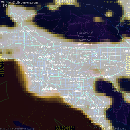
» NASA, Earths city lights 1995
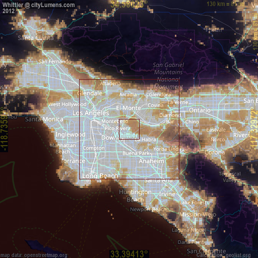
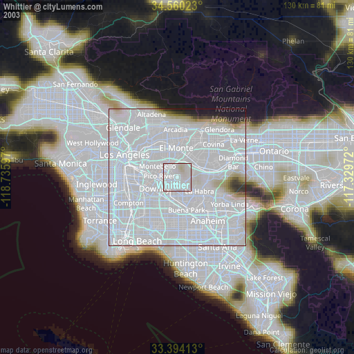
» NASA city lights 2003
» Earth at Night: Flat Maps 2012, 2016