Pico Rivera night lights from space
Night Light of Pico Rivera (California) from space (United States) Src. Average luminocity for 10x10km area is 97.9843% and for 50x50km: 90.5727%.
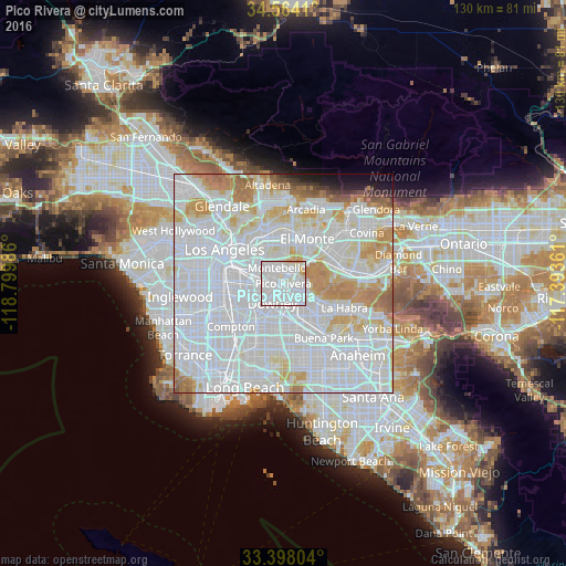

Analysis of Pico Rivera night lights 2016
Square area 10x10 km:
 52.27%
90-99
42.83%80-89
3.15%70-79
1.75%60-69
0%50-59
0%40-49
0%30-39
0%20-29
0%10-19
0%0-9
0%Square area 50x50 km:
50.38%90-99
24.28%80-89
6.87%70-79
7.51%60-69
4.89%50-59
1.67%40-49
0.8%30-39
0.68%20-29
0.88%10-19
1.49%0-9
0.56%Clear (daylight) street map image can be seen on geolist.org.
Map coordinates:
34° 33' 50.8" North, 118° 47' 59.5" West
33° 58' 59.1" North, 118° 5' 48.2" West
33° 23' 52.9" North, 117° 23' 37" West
Some cities around Pico Rivera sort by population:
• Downey
5.8 km =3.6 mi,  214°
214°
• Whittier
5.9 km =3.7 mi,  94°
94°
• Montebello
3 km =1.9 mi,  344°
344°
• South Whittier
6.4 km =4 mi,  124°
124°
• Bell Gardens
5.4 km =3.4 mi,  248°
248°
• West Whittier-Los Nietos
2.7 km =1.7 mi,  107°
107°
• Santa Fe Springs
4.1 km =2.5 mi,  165°
165°
• Commerce
6.1 km =3.8 mi,  288°
288°
5382496 (p: 64,218)
Sources (retrieved 2019-11-25):
» NASA, Earths city lights 1995
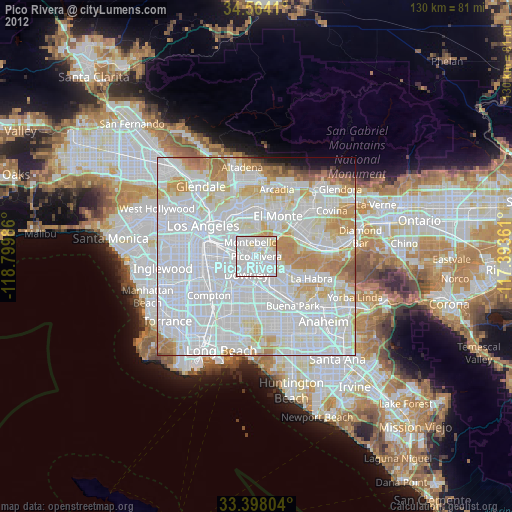
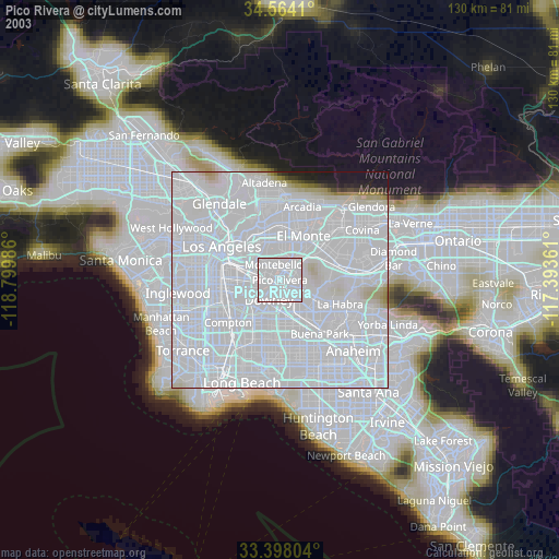
» NASA city lights 2003
» Earth at Night: Flat Maps 2012, 2016