South Whittier night lights from space
Night Light of South Whittier (California) from space (United States) Src. Average luminocity for 10x10km area is 93.6888% and for 50x50km: 90.5479%.
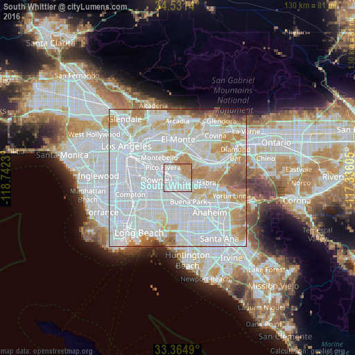

Analysis of South Whittier night lights 2016
Square area 10x10 km:
 49.65%
90-99
29.02%80-89
3.15%70-79
14.51%60-69
3.67%50-59
0%40-49
0%30-39
0%20-29
0%10-19
0%0-9
0%Square area 50x50 km:
46.39%90-99
25.19%80-89
7.32%70-79
9.05%60-69
6.46%50-59
2.71%40-49
1.36%30-39
0.62%20-29
0.58%10-19
0.32%0-9
0%Clear (daylight) street map image can be seen on geolist.org.
Map coordinates:
34° 31' 53" North, 118° 44' 32.3" West
33° 57' 0.5" North, 118° 2' 21" West
33° 21' 53.6" North, 117° 20' 9.8" West
Some cities around South Whittier sort by population:
• Norwalk
6.6 km =4.1 mi,  216°
216°
• Whittier
3.3 km =2.1 mi,  10°
10°
• Pico Rivera
6.4 km =4 mi,  304°
304°
• Hacienda Heights
8.1 km =5 mi,  53°
53°
• La Mirada
4.4 km =2.7 mi,  145°
145°
• West Whittier-Los Nietos
4 km =2.5 mi,  316°
316°
• Santa Fe Springs
4.3 km =2.7 mi,  265°
265°
• East La Mirada
5.4 km =3.4 mi,  121°
121°
5397841 (p: 57,156)
Sources (retrieved 2019-11-25):
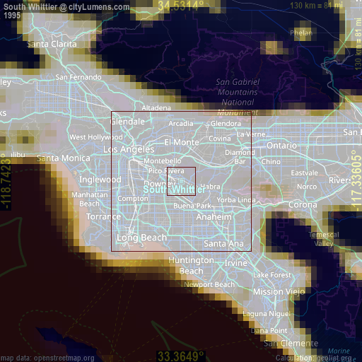
» NASA, Earths city lights 1995
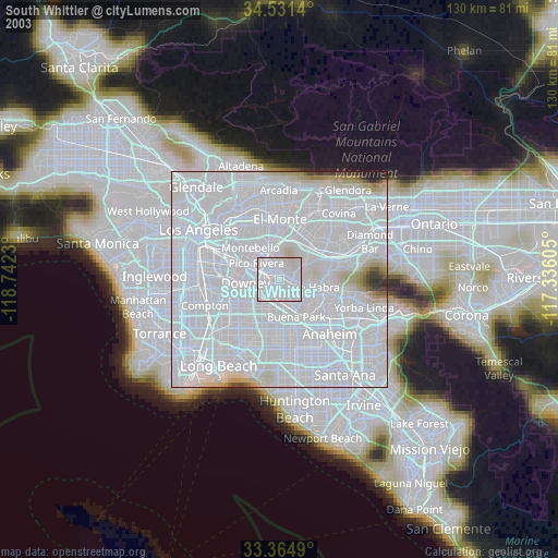
» NASA city lights 2003
» Earth at Night: Flat Maps 2012, 2016