West Fargo night lights from space
Night Light of West Fargo (North Dakota) from space (United States) Src. Average luminocity for 10x10km area is 65.2173% and for 50x50km: 9.8996%.
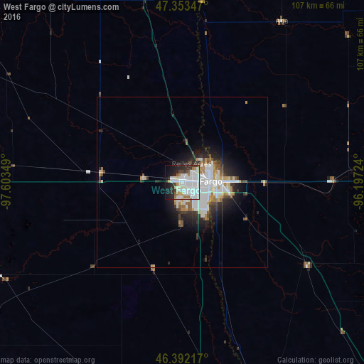
Analysis of West Fargo night lights 2016
Square area 10x10 km:
 27.38%
90-99
20.54%80-89
4.46%70-79
2.08%60-69
5.06%50-59
1.93%40-49
2.23%30-39
5.21%20-29
12.5%10-19
14.14%0-9
4.46%Square area 50x50 km:
2.93%90-99
2.46%80-89
0.7%70-79
0.81%60-69
0.86%50-59
0.77%40-49
0.77%30-39
1.31%20-29
2.6%10-19
4.22%0-9
82.57%Clear (daylight) street map image can be seen on geolist.org.
Map coordinates:
47° 21' 12.5" North, 97° 36' 12.6" West
46° 52' 29.9" North, 96° 54' 1.3" West
46° 23' 31.8" North, 96° 11' 50.1" West
Some cities around West Fargo sort by population:
• Fargo
8.4 km =5.2 mi,  88°
88°
• Grand Forks
117.2 km =72.8 mi,  355°
355°
• Moorhead
9.9 km =6.2 mi, 90°
• Fergus Falls
91 km =56.5 mi,  136°
136°
• Detroit Lakes
80.5 km =50 mi, 94°
• Wahpeton
71.4 km =44.4 mi,  161°
161°
• Crookston
102.4 km =63.6 mi,  12°
12°
• Valley City
84 km =52.2 mi,  273°
273°
5062458 (p: 33,597)
Sources (retrieved 2019-11-25):
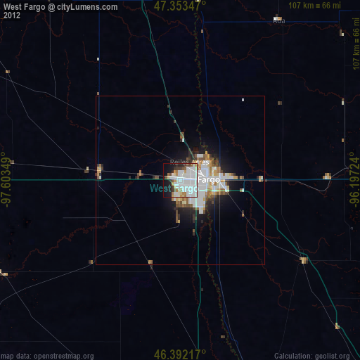
» Earth at Night: Flat Maps 2012, 2016