Detroit Lakes night lights from space
Night Light of Detroit Lakes (Minnesota) from space (United States) Src. Average luminocity for 10x10km area is 20.7307% and for 50x50km: 1.3818%.
Analysis of Detroit Lakes night lights 2016
Square area 10x10 km:
 3.72%
3.72%90-99
3.57%80-89
1.49%70-79
1.49%60-69
2.23%50-59
1.93%40-49
2.38%30-39
1.19%20-29
7.89%10-19
18.6%0-9
55.51%Square area 50x50 km:
0.15%90-99
0.2%80-89
0.15%70-79
0.14%60-69
0.18%50-59
0.18%40-49
0.22%30-39
0.14%20-29
0.44%10-19
0.83%0-9
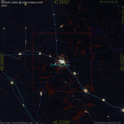
97.38%Clear (daylight) street map image can be seen on geolist.org.
Map coordinates:
47° 17' 46.3" North, 96° 32' 54.5" West
46° 49' 1.8" North, 95° 50' 43.2" West
46° 20' 1.9" North, 95° 8' 32" West
Some cities around Detroit Lakes sort by population:
• Fargo
72.1 km =44.8 mi,  275°
275°
• Moorhead
70.6 km =43.9 mi, 275°
• West Fargo
80.5 km =50 mi,  274°
274°
• Bemidji
103.2 km =64.1 mi,  44°
44°
• Fergus Falls
62 km =38.5 mi,  196°
196°
• Alexandria
109.7 km =68.2 mi,  160°
160°
• Wahpeton
84.6 km =52.6 mi,  223°
223°
• Crookston
121 km =75.2 mi,  331°
331°
5024237 (p: 9,002)
Sources (retrieved 2019-11-25):
» Earth at Night: Flat Maps 2012, 2016