Fargo night lights from space
Night Light of Fargo (North Dakota) from space (United States) Src. Average luminocity for 10x10km area is 87.3185% and for 50x50km: 9.7589%.
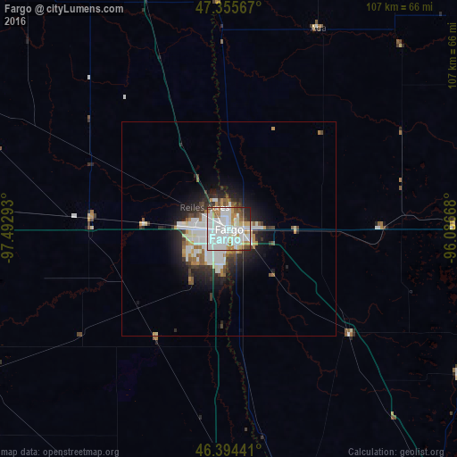
Analysis of Fargo night lights 2016
Square area 10x10 km:
 42.86%
90-99
27.08%80-89
4.76%70-79
6.7%60-69
7.29%50-59
2.38%40-49
3.42%30-39
2.53%20-29
2.83%10-19
0.15%0-9
0%Square area 50x50 km:
2.93%90-99
2.46%80-89
0.66%70-79
0.77%60-69
0.85%50-59
0.77%40-49
0.72%30-39
1.26%20-29
2.54%10-19
4.2%0-9
82.84%Clear (daylight) street map image can be seen on geolist.org.
Map coordinates:
47° 21' 20.4" North, 97° 29' 34.5" West
46° 52' 37.9" North, 96° 47' 23.3" West
46° 23' 39.9" North, 96° 5' 12" West
Some cities around Fargo sort by population:
• Grand Forks
118 km =73.3 mi,  351°
351°
• Moorhead
1.6 km =1 mi,  103°
103°
• West Fargo
8.4 km =5.2 mi,  268°
268°
• Fergus Falls
85.6 km =53.2 mi,  140°
140°
• Detroit Lakes
72.1 km =44.8 mi, 95°
• Wahpeton
69.5 km =43.2 mi,  168°
168°
• Crookston
100.7 km =62.6 mi,  7°
7°
• Valley City
92.3 km =57.4 mi, 273°
5059163 (p: 118,523)
Sources (retrieved 2019-11-25):
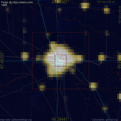
» NASA, Earths city lights 1995
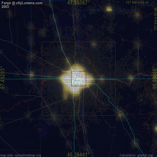
» NASA city lights 2003
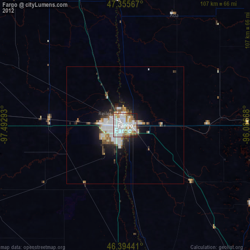
» Earth at Night: Flat Maps 2012, 2016