Wahpeton night lights from space
Night Light of Wahpeton (North Dakota) from space (United States) Src. Average luminocity for 10x10km area is 26.0714% and for 50x50km: 1.5751%.
Analysis of Wahpeton night lights 2016
Square area 10x10 km:
 4.91%
4.91%90-99
7.59%80-89
1.64%70-79
2.83%60-69
1.49%50-59
1.79%40-49
1.34%30-39
1.64%20-29
2.83%10-19
33.18%0-9
40.77%Square area 50x50 km:
0.22%90-99
0.34%80-89
0.07%70-79
0.17%60-69
0.21%50-59
0.17%40-49
0.14%30-39
0.21%20-29
0.26%10-19
1.66%0-9
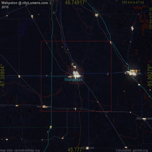
96.57%Clear (daylight) street map image can be seen on geolist.org.
Map coordinates:
46° 44' 57" North, 97° 18' 32.5" West
46° 15' 54.9" North, 96° 36' 21.3" West
45° 46' 37.2" North, 95° 54' 10" West
Some cities around Wahpeton sort by population:
• Fargo
69.5 km =43.2 mi,  348°
348°
• Moorhead
68.8 km =42.8 mi, 349°
• West Fargo
71.4 km =44.4 mi,  341°
341°
• Fergus Falls
40.7 km =25.3 mi,  87°
87°
• Alexandria
103.7 km =64.4 mi,  114°
114°
• Detroit Lakes
84.6 km =52.6 mi,  43°
43°
• Valley City
129.4 km =80.4 mi,  304°
304°
• Morris
92.6 km =57.5 mi,  144°
144°
5062355 (p: 7,899)
Sources (retrieved 2019-11-25):
» Earth at Night: Flat Maps 2012, 2016