Fergus Falls night lights from space
Night Light of Fergus Falls (Minnesota) from space (United States) Src. Average luminocity for 10x10km area is 25.3229% and for 50x50km: 1.3551%.
Analysis of Fergus Falls night lights 2016
Square area 10x10 km:
 4.02%
4.02%90-99
4.32%80-89
3.87%70-79
2.83%60-69
2.98%50-59
2.98%40-49
1.34%30-39
2.38%20-29
2.68%10-19
29.91%0-9
42.71%Square area 50x50 km:
0.16%90-99
0.2%80-89
0.18%70-79
0.2%60-69
0.14%50-59
0.16%40-49
0.08%30-39
0.21%20-29
0.2%10-19
1.28%0-9
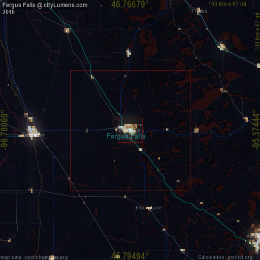
97.2%Clear (daylight) street map image can be seen on geolist.org.
Map coordinates:
46° 46' 0.4" North, 96° 46' 50.5" West
46° 16' 58.9" North, 96° 4' 39.2" West
45° 47' 41.8" North, 95° 22' 28" West
Some cities around Fergus Falls sort by population:
• Fargo
85.6 km =53.2 mi,  320°
320°
• Moorhead
84.3 km =52.4 mi, 321°
• West Fargo
91 km =56.5 mi, 316°
• Alexandria
69.8 km =43.4 mi,  129°
129°
• Detroit Lakes
62 km =38.5 mi,  16°
16°
• Little Falls
136.5 km =84.8 mi,  104°
104°
• Wahpeton
40.7 km =25.3 mi,  267°
267°
• Morris
78.5 km =48.8 mi,  170°
170°
5026416 (p: 13,281)
Sources (retrieved 2019-11-25):
» Earth at Night: Flat Maps 2012, 2016