Grand Forks night lights from space
Night Light of Grand Forks (North Dakota) from space (United States) Src. Average luminocity for 10x10km area is 59.517% and for 50x50km: 3.7988%.
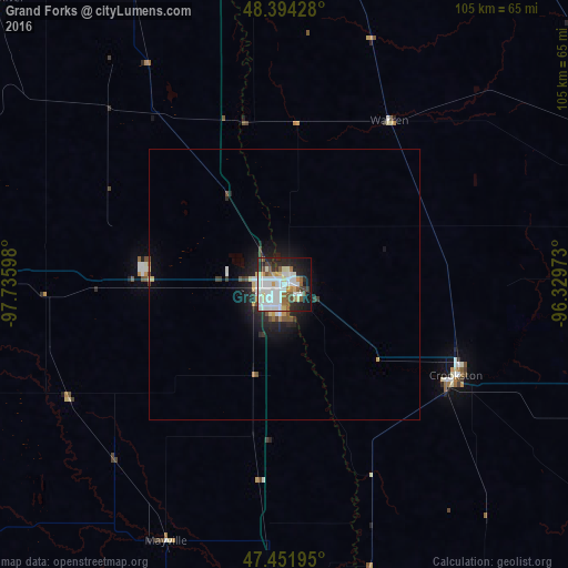
Analysis of Grand Forks night lights 2016
Square area 10x10 km:
 18.32%
90-99
19.03%80-89
5.82%70-79
3.41%60-69
3.98%50-59
6.68%40-49
3.13%30-39
4.69%20-29
14.35%10-19
16.19%0-9
4.4%Square area 50x50 km:
0.85%90-99
0.81%80-89
0.39%70-79
0.27%60-69
0.24%50-59
0.39%40-49
0.38%30-39
0.4%20-29
1.27%10-19
2.54%0-9
92.46%Clear (daylight) street map image can be seen on geolist.org.
Map coordinates:
48° 23' 39.4" North, 97° 44' 9.5" West
47° 55' 30.9" North, 97° 1' 58.3" West
47° 27' 7" North, 96° 19' 47" West
Some cities around Grand Forks sort by population:
• Fargo
118 km =73.3 mi,  171°
171°
• Moorhead
118.6 km =73.7 mi, 170°
• West Fargo
117.2 km =72.8 mi,  175°
175°
• Thief River Falls
66.9 km =41.6 mi,  71°
71°
• East Grand Forks
0.8 km =0.5 mi,  49°
49°
• Crookston
35.9 km =22.3 mi,  117°
117°
• Devils Lake
137.9 km =85.7 mi,  278°
278°
• Valley City
133.2 km =82.8 mi,  213°
213°
5059429 (p: 57,011)
Sources (retrieved 2019-11-25):
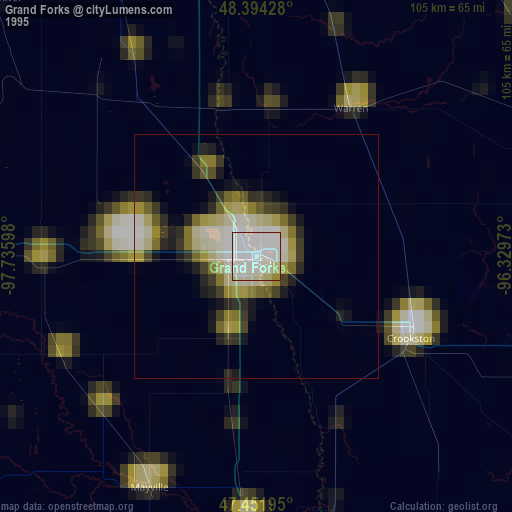
» NASA, Earths city lights 1995
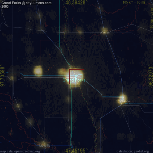
» NASA city lights 2003
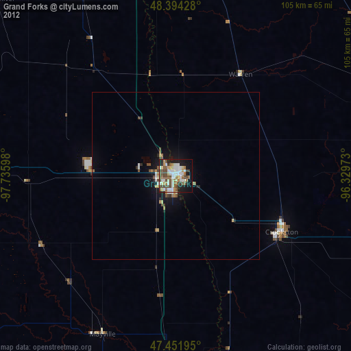
» Earth at Night: Flat Maps 2012, 2016