Crookston night lights from space
Night Light of Crookston (Minnesota) from space (United States) Src. Average luminocity for 10x10km area is 17.4613% and for 50x50km: 0.813%.
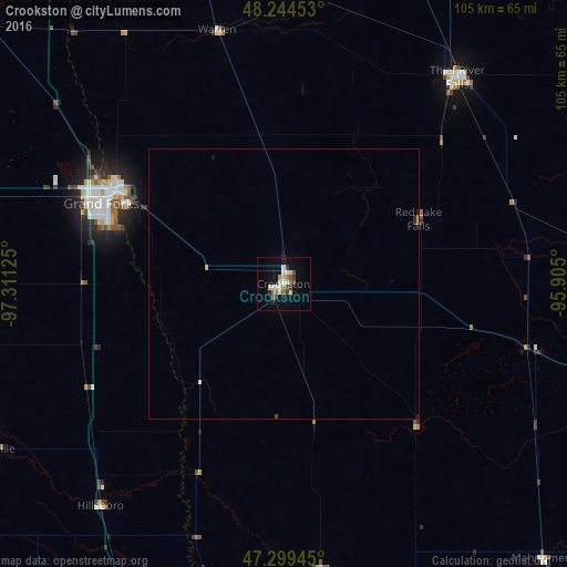
Analysis of Crookston night lights 2016
Square area 10x10 km:
 1.79%
1.79%90-99
4.61%80-89
1.34%70-79
1.19%60-69
2.83%50-59
2.23%40-49
1.49%30-39
2.38%20-29
2.23%10-19
10.57%0-9
69.35%Square area 50x50 km:
0.07%90-99
0.2%80-89
0.06%70-79
0.09%60-69
0.11%50-59
0.09%40-49
0.08%30-39
0.1%20-29
0.14%10-19
0.45%0-9
98.62%Clear (daylight) street map image can be seen on geolist.org.
Map coordinates:
48° 14' 40.3" North, 97° 18' 40.5" West
47° 46' 26.9" North, 96° 36' 29.2" West
47° 17' 58" North, 95° 54' 18" West
Some cities around Crookston sort by population:
• Fargo
100.7 km =62.6 mi,  187°
187°
• Grand Forks
35.9 km =22.3 mi,  297°
297°
• Moorhead
100.8 km =62.6 mi, 186°
• West Fargo
102.4 km =63.6 mi, 192°
• Bemidji
133.7 km =83.1 mi,  104°
104°
• Detroit Lakes
121 km =75.2 mi,  151°
151°
• Thief River Falls
49.8 km =30.9 mi,  39°
39°
• East Grand Forks
35.6 km =22.1 mi, 299°
5023465 (p: 7,787)
Sources (retrieved 2019-11-25):
» Earth at Night: Flat Maps 2012, 2016