Valley City night lights from space
Night Light of Valley City (North Dakota) from space (United States) Src. Average luminocity for 10x10km area is 13.9375% and for 50x50km: 0.6471%.
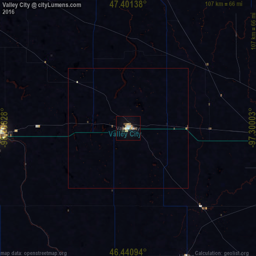
Analysis of Valley City night lights 2016
Square area 10x10 km:
 1.79%
1.79%90-99
2.38%80-89
3.27%70-79
2.08%60-69
0%50-59
1.49%40-49
0.89%30-39
1.64%20-29
1.19%10-19
2.98%0-9
82.29%Square area 50x50 km:
0.07%90-99
0.12%80-89
0.14%70-79
0.09%60-69
0%50-59
0.06%40-49
0.06%30-39
0.13%20-29
0.05%10-19
0.14%0-9
99.15%Clear (daylight) street map image can be seen on geolist.org.
Map coordinates:
47° 24' 5" North, 98° 42' 22.6" West
46° 55' 23.9" North, 98° 0' 11.3" West
46° 26' 27.4" North, 97° 18' 0.1" West
Some cities around Valley City sort by population:
• Fargo
92.3 km =57.4 mi,  93°
93°
• Grand Forks
133.2 km =82.8 mi,  33°
33°
• Moorhead
93.9 km =58.3 mi, 93°
• West Fargo
84 km =52.2 mi, 93°
• Jamestown
53.6 km =33.3 mi,  268°
268°
• East Grand Forks
134 km =83.3 mi, 33°
• Wahpeton
129.4 km =80.4 mi,  124°
124°
• Crookston
141.4 km =87.9 mi,  48°
48°
5062292 (p: 6,669)
Sources (retrieved 2019-11-25):
» Earth at Night: Flat Maps 2012, 2016