Moorhead night lights from space
Night Light of Moorhead (Minnesota) from space (United States) Src. Average luminocity for 10x10km area is 81.0298% and for 50x50km: 9.7606%.
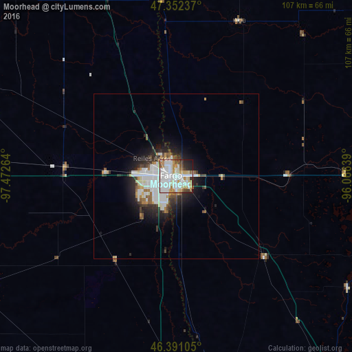
Analysis of Moorhead night lights 2016
Square area 10x10 km:
 34.38%
90-99
24.85%80-89
6.7%70-79
7.59%60-69
8.04%50-59
2.53%40-49
3.87%30-39
3.27%20-29
5.95%10-19
2.83%0-9
0%Square area 50x50 km:
2.93%90-99
2.46%80-89
0.66%70-79
0.77%60-69
0.85%50-59
0.77%40-49
0.72%30-39
1.26%20-29
2.54%10-19
4.2%0-9
82.84%Clear (daylight) street map image can be seen on geolist.org.
Map coordinates:
47° 21' 8.5" North, 97° 28' 21.5" West
46° 52' 25.9" North, 96° 46' 10.2" West
46° 23' 27.8" North, 96° 3' 59" West
Some cities around Moorhead sort by population:
• Fargo
1.6 km =1 mi,  283°
283°
• Grand Forks
118.6 km =73.7 mi,  350°
350°
• West Fargo
9.9 km =6.2 mi,  270°
270°
• Fergus Falls
84.3 km =52.4 mi,  141°
141°
• Detroit Lakes
70.6 km =43.9 mi,  95°
95°
• Wahpeton
68.8 km =42.8 mi,  169°
169°
• Crookston
100.8 km =62.6 mi,  6°
6°
• Valley City
93.9 km =58.3 mi, 273°
5038108 (p: 42,005)
Sources (retrieved 2019-11-25):
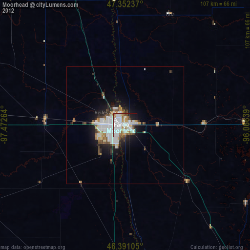
» Earth at Night: Flat Maps 2012, 2016