Alexandria night lights from space
Night Light of Alexandria (Minnesota) from space (United States) Src. Average luminocity for 10x10km area is 34.6949% and for 50x50km: 2.0563%.
Analysis of Alexandria night lights 2016
Square area 10x10 km:
 3.87%
3.87%90-99
6.55%80-89
4.17%70-79
2.83%60-69
5.8%50-59
4.91%40-49
6.85%30-39
5.65%20-29
9.82%10-19
27.98%0-9
21.58%Square area 50x50 km:
0.17%90-99
0.27%80-89
0.22%70-79
0.2%60-69
0.31%50-59
0.31%40-49
0.45%30-39
0.31%20-29
0.6%10-19
1.7%0-9
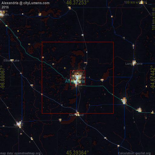
95.47%Clear (daylight) street map image can be seen on geolist.org.
Map coordinates:
46° 22' 21.1" North, 96° 4' 50.4" West
45° 53' 6.9" North, 95° 22' 39.1" West
45° 23' 37.1" North, 94° 40' 27.9" West
Some cities around Alexandria sort by population:
• Willmar
88.8 km =55.2 mi,  162°
162°
• Sartell
95.4 km =59.3 mi,  107°
107°
• Fergus Falls
69.8 km =43.4 mi,  309°
309°
• Little Falls
79.1 km =49.2 mi,  82°
82°
• Baxter
98.3 km =61.1 mi,  58°
58°
• Waite Park
96.7 km =60.1 mi, 112°
• Saint Joseph
89.6 km =55.7 mi, 113°
• Morris
53.3 km =33.1 mi,  231°
231°
5016108 (p: 11,843)
Sources (retrieved 2019-11-25):
» Earth at Night: Flat Maps 2012, 2016