Morris night lights from space
Night Light of Morris (Minnesota) from space (United States) Src. Average luminocity for 10x10km area is 12.7561% and for 50x50km: 0.7885%.
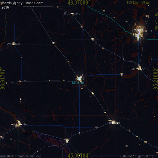
Analysis of Morris night lights 2016
Square area 10x10 km:
 2.12%
2.12%90-99
1.21%80-89
2.73%70-79
1.36%60-69
0.76%50-59
1.21%40-49
1.67%30-39
1.06%20-29
2.88%10-19
1.52%0-9
83.48%Square area 50x50 km:
0.08%90-99
0.07%80-89
0.17%70-79
0.07%60-69
0.13%50-59
0.12%40-49
0.09%30-39
0.12%20-29
0.13%10-19
0.08%0-9
98.92%Clear (daylight) street map image can be seen on geolist.org.
Map coordinates:
46° 4' 33.6" North, 96° 37' 1.5" West
45° 35' 9.9" North, 95° 54' 50.2" West
45° 5' 30.6" North, 95° 12' 39" West
Some cities around Morris sort by population:
• Watertown
121.1 km =75.2 mi,  230°
230°
• Willmar
85.4 km =53.1 mi,  127°
127°
• Fergus Falls
78.5 km =48.8 mi,  350°
350°
• Alexandria
53.3 km =33.1 mi,  51°
51°
• Wahpeton
92.6 km =57.5 mi,  324°
324°
• Litchfield
119.7 km =74.4 mi,  115°
115°
• Saint Joseph
124.2 km =77.2 mi,  91°
91°
• Montevideo
72.6 km =45.1 mi,  167°
167°
5038252 (p: 5,352)
Sources (retrieved 2019-11-25):
» Earth at Night: Flat Maps 2012, 2016