Virginia night lights from space
Night Light of Virginia (Minnesota) from space (United States) Src. Average luminocity for 10x10km area is 23.9588% and for 50x50km: 1.7587%.
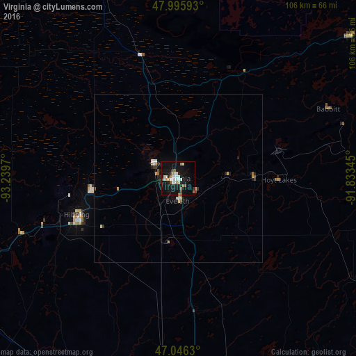
Analysis of Virginia night lights 2016
Square area 10x10 km:
 4.69%
4.69%90-99
5.4%80-89
0.71%70-79
1.99%60-69
3.69%50-59
1.85%40-49
0.99%30-39
1.7%20-29
2.41%10-19
38.49%0-9
38.07%Square area 50x50 km:
0.26%90-99
0.31%80-89
0.1%70-79
0.21%60-69
0.27%50-59
0.12%40-49
0.12%30-39
0.2%20-29
0.34%10-19
1.79%0-9
96.29%Clear (daylight) street map image can be seen on geolist.org.
Map coordinates:
47° 59' 45.3" North, 93° 14' 22.9" West
47° 31' 23.7" North, 92° 32' 11.7" West
47° 2' 46.7" North, 91° 50' 0.4" West
Some cities around Virginia sort by population:
• Duluth
88.5 km =55 mi,  158°
158°
• Superior
95 km =59 mi, 159°
• Hibbing
32 km =19.9 mi,  250°
250°
• Cloquet
89.3 km =55.5 mi,  176°
176°
• Grand Rapids
81.3 km =50.5 mi, 246°
• Hermantown
82.8 km =51.4 mi, 164°
• Fort Frances, CA
137.5 km =85.4 mi,  332°
332°
• International Falls
136.3 km =84.7 mi, 331°
5051468 (p: 8,587)
Sources (retrieved 2019-11-25):
» Earth at Night: Flat Maps 2012, 2016