International Falls night lights from space
Night Light of International Falls (Minnesota) from space (United States) Src. Average luminocity for 10x10km area is 24.9658% and for 50x50km: 1.076%.
Analysis of International Falls night lights 2016
Square area 10x10 km:
 4.17%
4.17%90-99
4.17%80-89
1.79%70-79
3.72%60-69
4.02%50-59
2.83%40-49
2.53%30-39
1.64%20-29
4.61%10-19
25.15%0-9
45.39%Square area 50x50 km:
0.16%90-99
0.16%80-89
0.07%70-79
0.14%60-69
0.15%50-59
0.13%40-49
0.14%30-39
0.06%20-29
0.19%10-19
0.98%0-9
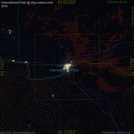
97.81%Clear (daylight) street map image can be seen on geolist.org.
Map coordinates:
49° 3' 50" North, 94° 6' 50.8" West
48° 36' 3.8" North, 93° 24' 39.5" West
48° 8' 2.1" North, 92° 42' 28.3" West
Some cities around International Falls sort by population:
• Hibbing
135.2 km =84 mi,  164°
164°
• Kenora, CA
151.5 km =94.1 mi,  328°
328°
• Bemidji
166.3 km =103.3 mi,  221°
221°
• Grand Rapids
151.9 km =94.4 mi,  183°
183°
• Thief River Falls
211.5 km =131.4 mi,  255°
255°
• Virginia
136.3 km =84.7 mi,  151°
151°
• Dryden, CA
139.9 km =86.9 mi,  20°
20°
• Fort Frances, CA
1.9 km =1.2 mi, 24°
5031404 (p: 6,158)
Sources (retrieved 2019-11-25):
» Earth at Night: Flat Maps 2012, 2016