Hibbing night lights from space
Night Light of Hibbing (Minnesota) from space (United States) Src. Average luminocity for 10x10km area is 15.571% and for 50x50km: 1.4155%.
Analysis of Hibbing night lights 2016
Square area 10x10 km:
 2.13%
2.13%90-99
2.13%80-89
2.56%70-79
1.7%60-69
2.27%50-59
0%40-49
1.85%30-39
2.27%20-29
1.99%10-19
7.67%0-9
75.43%Square area 50x50 km:
0.2%90-99
0.24%80-89
0.17%70-79
0.2%60-69
0.17%50-59
0.06%40-49
0.1%30-39
0.24%20-29
0.21%10-19
0.42%0-9
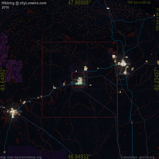
97.99%Clear (daylight) street map image can be seen on geolist.org.
Map coordinates:
47° 54' 2.4" North, 93° 38' 27" West
47° 25' 37.7" North, 92° 56' 15.7" West
46° 56' 57.6" North, 92° 14' 4.5" West
Some cities around Hibbing sort by population:
• Duluth
95.3 km =59.2 mi,  138°
138°
• Superior
100.8 km =62.6 mi, 141°
• Cloquet
86.4 km =53.7 mi,  155°
155°
• Grand Rapids
49.4 km =30.7 mi,  244°
244°
• Hermantown
86.9 km =54 mi, 142°
• Virginia
32 km =19.9 mi,  70°
70°
• Fort Frances, CA
136.7 km =84.9 mi,  345°
345°
• International Falls
135.2 km =84 mi,  344°
344°
5030005 (p: 16,204)
Sources (retrieved 2019-11-25):
» Earth at Night: Flat Maps 2012, 2016