Superior night lights from space
Night Light of Superior (Wisconsin) from space (United States) Src. Average luminocity for 10x10km area is 58.7143% and for 50x50km: 7.5447%.
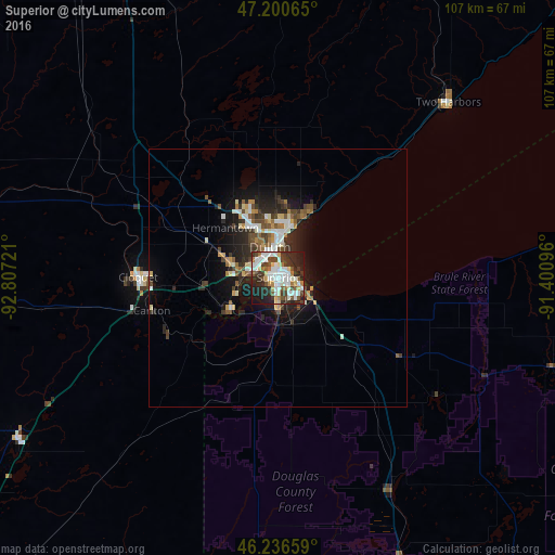

Analysis of Superior night lights 2016
Square area 10x10 km:
 14.88%
90-99
18.15%80-89
4.17%70-79
3.42%60-69
6.4%50-59
5.06%40-49
8.48%30-39
10.86%20-29
17.71%10-19
10.57%0-9
0.3%Square area 50x50 km:
1.21%90-99
1.52%80-89
0.56%70-79
0.7%60-69
0.78%50-59
0.98%40-49
1.23%30-39
1.4%20-29
2.73%10-19
4.74%0-9
84.15%Clear (daylight) street map image can be seen on geolist.org.
Map coordinates:
47° 12' 2.3" North, 92° 48' 26" West
46° 43' 14.8" North, 92° 6' 14.7" West
46° 14' 11.7" North, 91° 24' 3.5" West
Some cities around Superior sort by population:
• Duluth
7 km =4.3 mi,  358°
358°
• Hibbing
100.8 km =62.6 mi,  321°
321°
• Cloquet
27.1 km =16.8 mi,  270°
270°
• Grand Rapids
122.5 km =76.1 mi,  297°
297°
• Hermantown
14 km =8.7 mi,  313°
313°
• Virginia
95 km =59 mi,  339°
339°
• Rice Lake
138 km =85.7 mi,  168°
168°
• Ashland
94.2 km =58.5 mi,  98°
98°
5275191 (p: 26,579)
Sources (retrieved 2019-11-25):
» Earth at Night: Flat Maps 2012, 2016