Grand Rapids night lights from space
Night Light of Grand Rapids (Minnesota) from space (United States) Src. Average luminocity for 10x10km area is 22.8943% and for 50x50km: 1.2959%.
Analysis of Grand Rapids night lights 2016
Square area 10x10 km:
 2.83%
2.83%90-99
4.61%80-89
3.87%70-79
0.89%60-69
0.89%50-59
2.98%40-49
4.17%30-39
5.21%20-29
2.68%10-19
20.83%0-9
51.04%Square area 50x50 km:
0.13%90-99
0.2%80-89
0.18%70-79
0.06%60-69
0.08%50-59
0.21%40-49
0.25%30-39
0.33%20-29
0.25%10-19
0.88%0-9
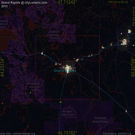
97.42%Clear (daylight) street map image can be seen on geolist.org.
Map coordinates:
47° 42' 44.7" North, 94° 14' 0" West
47° 14' 13.8" North, 93° 31' 48.8" West
46° 45' 27.4" North, 92° 49' 37.5" West
Some cities around Grand Rapids sort by population:
• Duluth
119.1 km =74 mi,  115°
115°
• Hibbing
49.4 km =30.7 mi,  64°
64°
• Bemidji
105 km =65.2 mi,  284°
284°
• Brainerd
110.3 km =68.5 mi,  207°
207°
• Cloquet
99.4 km =61.8 mi,  125°
125°
• Hermantown
109 km =67.7 mi, 116°
• Virginia
81.3 km =50.5 mi,  66°
66°
• Baxter
114.9 km =71.4 mi, 210°
5028537 (p: 11,127)
Sources (retrieved 2019-11-25):
» Earth at Night: Flat Maps 2012, 2016