Fort Frances night lights from space
Night Light of Fort Frances (Ontario) from space (Canada) Src. Average luminocity for 10x10km area is 23.9196% and for 50x50km: 1.0705%.
Analysis of Fort Frances night lights 2016
Square area 10x10 km:
 3.72%
3.72%90-99
4.02%80-89
1.79%70-79
3.72%60-69
4.02%50-59
2.83%40-49
2.53%30-39
1.64%20-29
4.32%10-19
21.73%0-9
49.7%Square area 50x50 km:
0.16%90-99
0.16%80-89
0.07%70-79
0.14%60-69
0.15%50-59
0.13%40-49
0.13%30-39
0.06%20-29
0.19%10-19
0.98%0-9
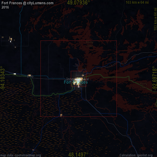
97.82%Clear (daylight) street map image can be seen on geolist.org.
Map coordinates:
49° 4' 45.7" North, 94° 6' 12.3" West
48° 37' 0" North, 93° 24' 1.1" West
48° 8' 58.9" North, 92° 41' 49.8" West
Some cities around Fort Frances sort by population:
• Hibbing, US
136.7 km =84.9 mi,  165°
165°
• Kenora
150.5 km =93.5 mi,  328°
328°
• Bemidji, US
168.1 km =104.5 mi,  220°
220°
• Grand Rapids, US
153.7 km =95.5 mi,  183°
183°
• Thief River Falls, US
212.7 km =132.2 mi,  254°
254°
• Virginia, US
137.5 km =85.4 mi,  152°
152°
• Dryden
138 km =85.7 mi,  20°
20°
• International Falls, US
1.9 km =1.2 mi,  204°
204°
5955826 (p: 7,931)
Sources (retrieved 2019-11-25):
» Earth at Night: Flat Maps 2012, 2016