Cloquet night lights from space
Night Light of Cloquet (Minnesota) from space (United States) Src. Average luminocity for 10x10km area is 17.6235% and for 50x50km: 4.2094%.
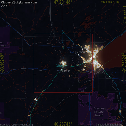
Analysis of Cloquet night lights 2016
Square area 10x10 km:
 2.83%
2.83%90-99
2.53%80-89
3.57%70-79
1.34%60-69
1.04%50-59
0.15%40-49
3.27%30-39
2.68%20-29
2.23%10-19
13.69%0-9
66.67%Square area 50x50 km:
0.56%90-99
0.59%80-89
0.43%70-79
0.41%60-69
0.37%50-59
0.52%40-49
0.78%30-39
0.83%20-29
1.65%10-19
3.11%0-9
90.74%Clear (daylight) street map image can be seen on geolist.org.
Map coordinates:
47° 12' 5.3" North, 93° 9' 45" West
46° 43' 17.8" North, 92° 27' 33.7" West
46° 14' 14.7" North, 91° 45' 22.5" West
Some cities around Cloquet sort by population:
• Duluth
27.7 km =17.2 mi,  75°
75°
• Superior
27.1 km =16.8 mi,  90°
90°
• Hibbing
86.4 km =53.7 mi,  335°
335°
• Brainerd
139.2 km =86.5 mi,  253°
253°
• Grand Rapids
99.4 km =61.8 mi,  305°
305°
• Hermantown
19.3 km =12 mi,  60°
60°
• Virginia
89.3 km =55.5 mi,  356°
356°
• Ashland
121.1 km =75.2 mi,  96°
96°
5021632 (p: 12,075)
Sources (retrieved 2019-11-25):
» Earth at Night: Flat Maps 2012, 2016