Jamestown night lights from space
Night Light of Jamestown (North Dakota) from space (United States) Src. Average luminocity for 10x10km area is 25.4241% and for 50x50km: 1.2437%.
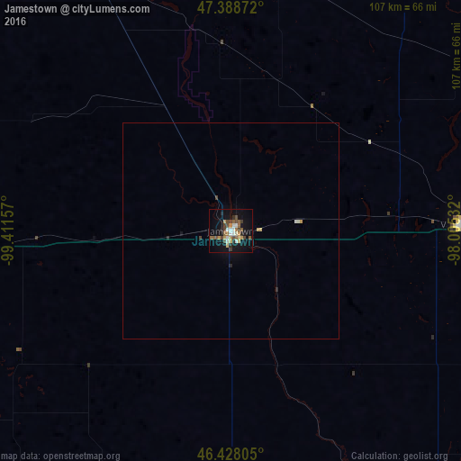
Analysis of Jamestown night lights 2016
Square area 10x10 km:
 3.87%
3.87%90-99
2.38%80-89
2.38%70-79
3.72%60-69
3.13%50-59
4.91%40-49
6.7%30-39
1.93%20-29
2.98%10-19
25.45%0-9
42.56%Square area 50x50 km:
0.16%90-99
0.13%80-89
0.13%70-79
0.18%60-69
0.12%50-59
0.19%40-49
0.3%30-39
0.09%20-29
0.19%10-19
1.08%0-9
97.44%Clear (daylight) street map image can be seen on geolist.org.
Map coordinates:
47° 23' 19.4" North, 99° 24' 41.7" West
46° 54' 37.9" North, 98° 42' 30.4" West
46° 25' 41" North, 98° 0' 19.2" West
Some cities around Jamestown sort by population:
• Fargo
145.8 km =90.6 mi,  91°
91°
• Bismarck
158.2 km =98.3 mi,  265°
265°
• Moorhead
147.4 km =91.6 mi, 91°
• West Fargo
137.4 km =85.4 mi, 91°
• Aberdeen
161.7 km =100.5 mi,  173°
173°
• Mandan
166.1 km =103.2 mi, 266°
• Devils Lake
134.2 km =83.4 mi,  354°
354°
• Valley City
53.6 km =33.3 mi, 88°
5059836 (p: 15,422)
Sources (retrieved 2019-11-25):
» Earth at Night: Flat Maps 2012, 2016